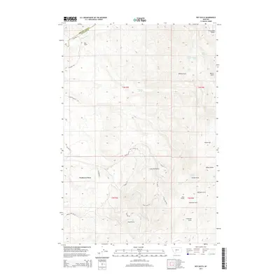
2014 Map of Roy Gulch
USGS Topo · Published 2014About this map
Ponderosa Pines stands out as a focal point of development in this transition between the Gallatin and Broadwater county lines. The landscape is defined by the complex topography of the Horseshoe Hills, where water sources like Dunbar Springs, Townsend Spring, and Eastham Spring provided critical resources for early land use in a dry environment. The northern portion of the map is dominated by the course of Sixteenmile Cr as it cuts through the notable Sixteenmile Canyon, creating a natural corridor across the rugged terrain.
Find a feature on this map
40 named features on this map. Tap any name to fly to it.
Don’t see what you’re looking for? This feature index may not catch every label — zoom into the map to look around manually.
Map Details
Editions of this 2014 Roy Gulch Map
This is the sole edition of this map. No revisions or reprints were ever made.
Other maps of this area

1886 · Fort Logan
USGS Topo · 1:250,000

1888 · Three Forks
USGS Topo · 1:250,000

1894 · Three Forks
USGS Topo · 1:250,000

1895 · Three Forks
USGS Topo · 1:250,000

1947 · Bozeman
USGS Topo · 1:250,000

1948 · Bozeman
USGS Topo · 1:250,000

1948 · White Sulphur Springs
USGS Topo · 1:250,000

1949 · Manhattan
USGS Topo · 1:62,500

1949 · Maudlow
USGS Topo · 1:62,500

1949 · Toston
USGS Topo · 1:62,500