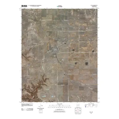
2010 Map of Roy
USGS Topo · Published 2010About this map
Roy serves as the central hub for this portion of Harding County, situated at a junction of roads and rail lines on the high plains. The town is marked by local infrastructure including the Roy Post Office, Roy Cemetery, and the Roy Municipal Airport, reflecting its role as a regional service center. The landscape is defined by a network of drainage draws and canyons, most notably Cañon Blanco, Sawmill Canyon, and Hooper Canyon, which cut through the level terrain.
Find a feature on this map
34 named features on this map. Tap any name to fly to it.
Don’t see what you’re looking for? This feature index may not catch every label — zoom into the map to look around manually.
Map Details
Editions of this 2010 Roy Map
This is the sole edition of this map. No revisions or reprints were ever made.
Other maps of this area

1954 · Santa Fe
USGS Topo · 1:250,000

1954 · Raton
USGS Topo · 1:250,000

1958 · Raton
USGS Topo · 1:250,000

1958 · Santa Fe
USGS Topo · 1:250,000

1971 · Beaver Canyon
USGS Topo · 1:24,000

1971 · Canon Encierro
USGS Topo · 1:24,000

1972 · Mills West
USGS Topo · 1:24,000
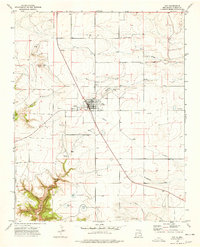
1974 · Roy
USGS Topo · 1:24,000
1974 · Kansas Valley
USGS Topo · 1:24,000
1974 · Kansas Valley Lake
USGS Topo · 1:24,000