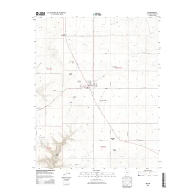
2013 Map of Roy
USGS Topo · Published 2013About this map
Roy serves as the central hub of this High Plains landscape, situated at the intersection of NM-39 and NM-120. The town's grid is clearly defined by streets such as Floersheim St and Adell Ave, while the Roy Cem and a local Po anchor the community's civic life. Beyond the town limits, the terrain is deeply etched by a network of drainage features and canyons, including Cañon Blanco and the winding La Cinta Cr. To the south, a cluster of water bodies—Gunn Lake, Morgan Lake, and Baum Lake—provides a contrast to the surrounding ranching country. The presence of the Ray Ranch Airport and outlying names like Mahoney and Kidd suggest the dispersed nature of local commerce and settlement in this portion of Harding County.
Find a feature on this map
61 named features on this map. Tap any name to fly to it.
Don’t see what you’re looking for? This feature index may not catch every label — zoom into the map to look around manually.
Map Details
Editions of this 2013 Roy Map
This is the sole edition of this map. No revisions or reprints were ever made.
Other maps of this area

1954 · Santa Fe
USGS Topo · 1:250,000

1954 · Raton
USGS Topo · 1:250,000

1958 · Raton
USGS Topo · 1:250,000

1958 · Santa Fe
USGS Topo · 1:250,000

1971 · Beaver Canyon
USGS Topo · 1:24,000

1971 · Canon Encierro
USGS Topo · 1:24,000

1972 · Mills West
USGS Topo · 1:24,000
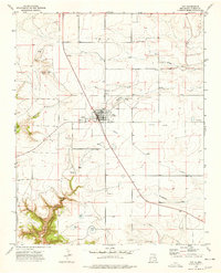
1974 · Roy
USGS Topo · 1:24,000
1974 · Kansas Valley
USGS Topo · 1:24,000
1974 · Kansas Valley Lake
USGS Topo · 1:24,000