1968 Map of Royal
USGS Topo · Published 1969About this map
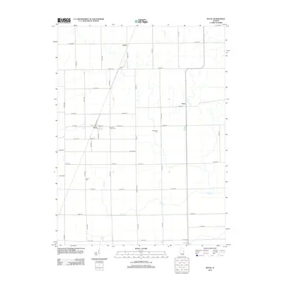
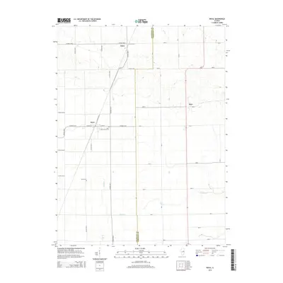
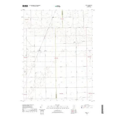
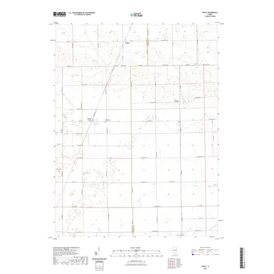
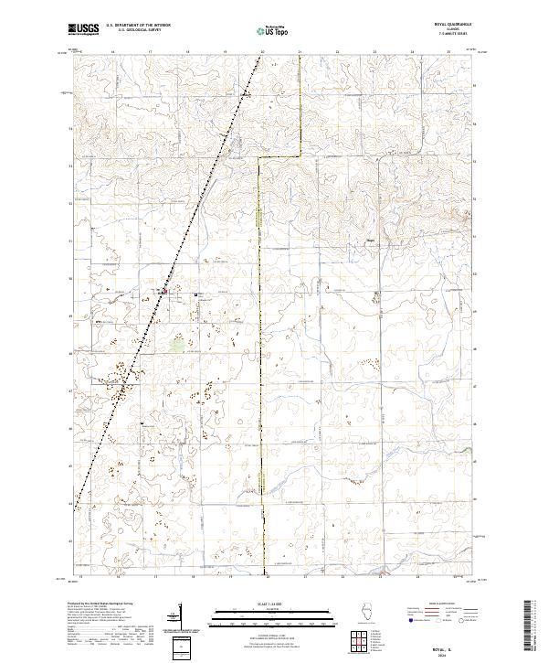
The agricultural landscape of eastern Illinois is centered on the village of Royal, a settlement defined by the diagonal transit of the Chicago and Eastern Illinois railroad. This 1968 survey reveals a terrain meticulously gridded by township and county lines, where the border between Champaign Co and Vermilion Co bisects the rural landscape. Smaller nodes of local life appear at Dailey and Hope, while the presence of Stearns Cem and Central Ch serves as a record of established community life in Ogden and Pilot townships.
Find a feature on this map
14 named features on this map. Tap any name to fly to it.
Don’t see what you’re looking for? This feature index may not catch every label — zoom into the map to look around manually.
Map Details
Editions of this 1968 Royal Map
This is the sole edition of this map. No revisions or reprints were ever made.
Historical Maps of Royal Through Time
6 maps found