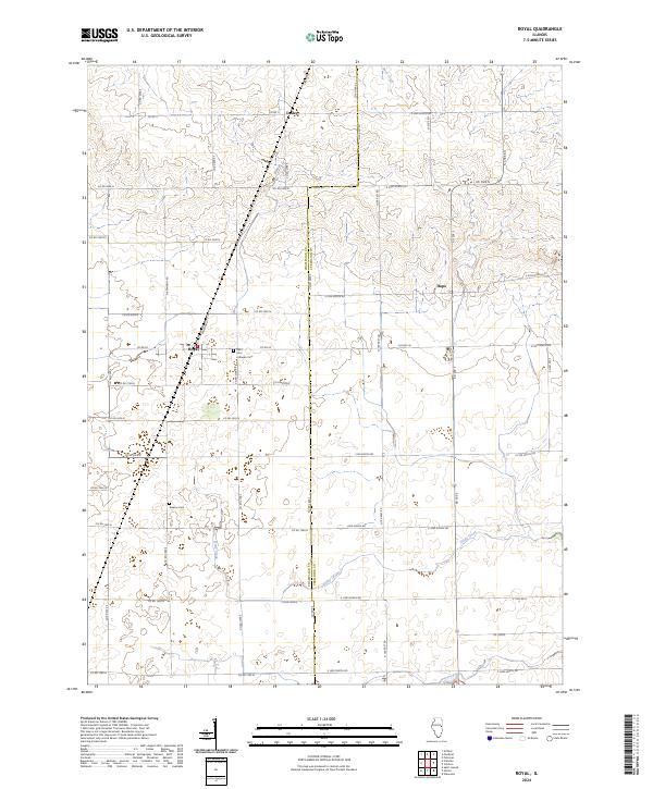
2024 Map of Royal
USGS Topo · Published 2024About this map
The borderlands between CHAMPAIGN CO and VERMILION CO are defined by a rhythmic grid of county roads and intermittent creek beds in this modern survey. The small settlement of Royal serves as a local hub, where Railroad St hints at the historical transportation lines that once shaped these rural communities. To the north and east, the hamlets of Dailey and Hope anchor the agricultural landscape.
Find a feature on this map
50 named features on this map. Tap any name to fly to it.
Don’t see what you’re looking for? This feature index may not catch every label — zoom into the map to look around manually.
Map Details
Editions of this 2024 Royal Map
This is the sole edition of this map. No revisions or reprints were ever made.
Other maps of this area

1906 · Urbana
USGS Topo · 1:62,500

1924 · Paxton
USGS Topo · 1:62,500

1927 · Paxton
USGS Topo · 1:62,500

1931 · Fithian
USGS Topo · 1:48,000

1936 · Potomac
USGS Topo · 1:62,500

1943 · Fithian
USGS Topo · 1:62,500

1949 · Paxton
USGS Topo · 1:62,500

1953 · Danville
USGS Topo · 1:250,000

1955 · Danville
USGS Topo · 1:250,000

1956 · Danville
USGS Topo · 1:250,000