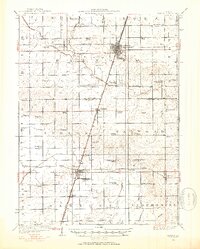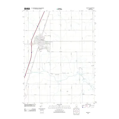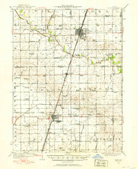
1949 Map of Paxton
USGS Topo · Published 1949About this map
The agricultural heart of Ford and Champaign counties is defined by a dense grid of rural schools and the bustling junctions of the Illinois Central and the New York Chicago and St Louis railroads. This 1920s survey depicts the transition of Central Illinois into a sophisticated transportation and military hub. Paxton serves as a primary rail center, while to the south, the expansive Chanute Flying Field near Rantoul marks a significant military presence in the prairie landscape.
Find a feature on this map
70 named features on this map. Tap any name to fly to it.
Don’t see what you’re looking for? This feature index may not catch every label — zoom into the map to look around manually.
Map Details
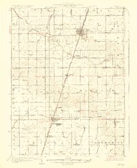
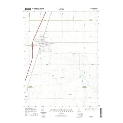
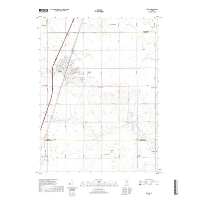
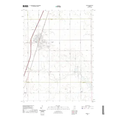
Editions of this 1949 Paxton Map
This is the sole edition of this map. No revisions or reprints were ever made.
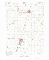
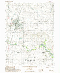
Historical Maps of Rantoul Through Time
10 maps found