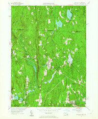
1954 Map of Royalston
USGS Topo · Published 1962About this map
Royalston and the surrounding Worcester County highlands are depicted here at a mid-century moment before significant modern development. The map details a landscape defined by its numerous water bodies and rugged hilltops, with the Boston and Maine railroad following the path of the Miller River through South Royalston. Cultural markers such as the Raymond Sch and the settlement at West Royalston suggest the local community structure during the 1950s. The northern border marks the transition into New Hampshire, showing Laurel Lake and Sportsman Pond spanning the state line. Extensive State Forest lands and significant heights like Tully Mtn and Chestnut Hill characterize the terrain, while the river networks of Scott Brook and the East Branch Tully River illustrate the complex drainage patterns of this upland region.
Find a feature on this map
61 named features on this map. Tap any name to fly to it.
Don’t see what you’re looking for? This feature index may not catch every label — zoom into the map to look around manually.
Map Details
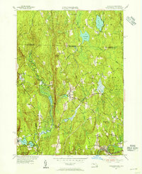
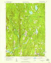
Editions of this 1954 Royalston Map
3 editions found
Other maps of this area

1887 · Warwick
USGS Topo · 1:62,500

1887 · Winchendon
USGS Topo · 1:62,500

1889 · Warwick
USGS Topo · 1:62,500

1890 · Winchendon
USGS Topo · 1:62,500

1894 · Winchendon
USGS Topo · 1:62,500

1894 · Warwick
USGS Topo · 1:62,500

1898 · Monadnock
USGS Topo · 1:62,500

1898 · Keene
USGS Topo · 1:62,500

1932 · Warwick
USGS Topo · 1:48,000

1932 · Winchendon
USGS Topo · 1:48,000