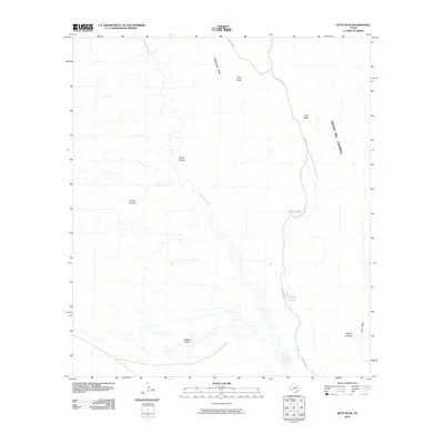
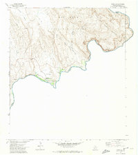
2010 Map of Roys Peak
USGS Topo · Published 2010About this map
Tornillo Creek carves a critical path through this arid landscape, winding past the McKinney Hills and through the notable Banta Shut-In. The topography is dominated by the looming presence of Sierra Del Carmen to the east, while the central heights of Roys Peak overlook a terrain marked by deep washes and drainage systems. This 2010 survey illustrates the isolation and geological complexity of the Big Bend region, where seasonal water sources like Carlota Tinaja and Willow Tank served as vital points in an otherwise unforgiving environment.
Find a feature on this map
13 named features on this map. Tap any name to fly to it.
Don’t see what you’re looking for? This feature index may not catch every label — zoom into the map to look around manually.
Map Details
Editions of this 2010 Roys Peak Map
This is the sole edition of this map. No revisions or reprints were ever made.
Other maps of this area

1903 · Chisos Mountains
USGS Topo · 1:125,000

1905 · Chisos Mountains
USGS Topo · 1:125,000

1930 · Stillwell Creek
USGS Topo · 1:62,500

1959 · Emory Peak
USGS Topo · 1:250,000

1965 · Emory Peak
USGS Topo · 1:250,000

1971 · Glenn Spring
USGS Topo · 1:24,000
1971 · McKinney Springs
USGS Topo · 1:24,000
1971 · Grapevine Hills
USGS Topo · 1:24,000
1971 · Ernst Valley
USGS Topo · 1:24,000
1971 · Boquillas
USGS Topo · 1:24,000