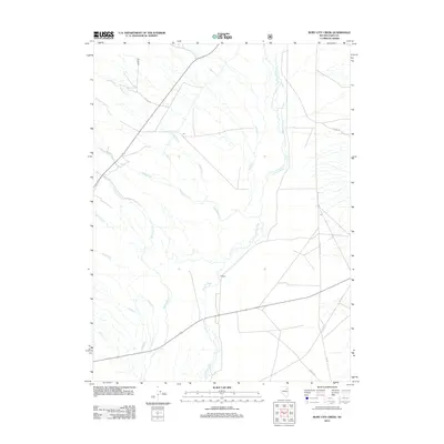
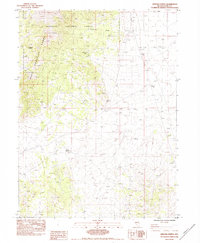
2012 Map of Ruby City Creek
USGS Topo · Published 2012About this map
The Franklin River drainage dominates this high-desert basin in eastern Nevada, where seasonal watercourses descend from the surrounding heights toward the floor of Butte Vly. This 2012 survey reveals a landscape primarily defined by its drainage network and ranching access roads. Notable features include the convergence of Ruby City Cr, Robinson Cr, and Withington Cr as they flow eastward. A solitary Po label suggests a focal point for the rural community, while the presence of N Ruby Valley Rd and Ruby Valley Rd indicates the primary north-south transit corridor through the valley. The map also records smaller tributaries such as Griswold Cr, Sharps Cr, and Smith Creek, illustrating the complex hydrology of the Great Basin region during the early 21st century.
Find a feature on this map
17 named features on this map. Tap any name to fly to it.
Don’t see what you’re looking for? This feature index may not catch every label — zoom into the map to look around manually.
Map Details
Editions of this 2012 Ruby City Creek Map
This is the sole edition of this map. No revisions or reprints were ever made.
Other maps of this area

1935 · Halleck
USGS Topo · 1:125,000

1955 · Elko
USGS Topo · 1:250,000

1958 · Elko
USGS Topo · 1:250,000

1962 · Elko
USGS Topo · 1:250,000

1962 · Lamoille
USGS Topo · 1:62,500

1965 · Elko
USGS Topo · 1:250,000
1969 · Secret Valley
USGS Topo · 1:24,000
1969 · Gordon Creek
USGS Topo · 1:24,000
1970 · Soldier Peak
USGS Topo · 1:24,000
1984 · Arizona Spring
USGS Topo · 1:24,000