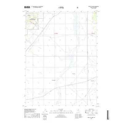
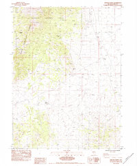
2018 Map of Ruby City Creek
USGS Topo · Published 2018About this map
Humboldt National Forest dominates the northwest corner of this Nevada landscape, where the Ruby Mountains transition into the broad basin of Ruby Valley. This map documents a high-desert environment defined by seasonal drainage patterns and federal land management. Multiple administrative markers, including Ruby Admin Site 1 and Ruby Admin Site 2, are located near the headwaters of Ruby City Cr, which flows toward the valley floor alongside the Creek Trail. The presence of the Polar Star mine in the northeast suggests the area's history with mineral extraction.
Find a feature on this map
28 named features on this map. Tap any name to fly to it.
Don’t see what you’re looking for? This feature index may not catch every label — zoom into the map to look around manually.
Map Details
Editions of this 2018 Ruby City Creek Map
This is the sole edition of this map. No revisions or reprints were ever made.
Other maps of this area

1935 · Halleck
USGS Topo · 1:125,000

1955 · Elko
USGS Topo · 1:250,000

1958 · Elko
USGS Topo · 1:250,000

1962 · Elko
USGS Topo · 1:250,000

1962 · Lamoille
USGS Topo · 1:62,500

1965 · Elko
USGS Topo · 1:250,000
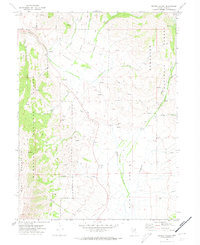
1969 · Secret Valley
USGS Topo · 1:24,000
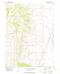
1969 · Gordon Creek
USGS Topo · 1:24,000
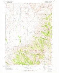
1970 · Soldier Peak
USGS Topo · 1:24,000
1984 · Arizona Spring
USGS Topo · 1:24,000