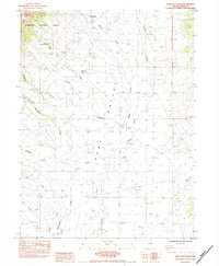
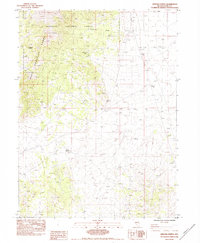
1984 Map of Ruby City Creek
USGS Topo · Published 1984About this map
Ruby Valley is defined by a complex network of seasonal drainages and early infrastructure in this high-desert landscape. The vanished settlement of Ruby City (Site) is a central point of interest, positioned near where Ruby City Creek emerges from the slopes of the Humboldt National Forest. This 1980s field check documents the essential water-management features required for survival and ranching in this arid region, including the Water Pipeline, Sharps Well, and scattered Corral and Water Trough locations. The landscape is characterized by the convergence of several streams like Robinson Creek, Sharps Creek, and Franklin River, which define the irrigation and livestock patterns of the area. Notable landmarks such as the Ruby Valley Forest Service Station and the Estate Place provide evidence of administrative and residential footprints within the vast valley floor.
Find a feature on this map
21 named features on this map. Tap any name to fly to it.
Don’t see what you’re looking for? This feature index may not catch every label — zoom into the map to look around manually.
Map Details
Editions of this 1984 Ruby City Creek Map
This is the sole edition of this map. No revisions or reprints were ever made.
Other maps of this area

1935 · Halleck
USGS Topo · 1:125,000

1955 · Elko
USGS Topo · 1:250,000

1958 · Elko
USGS Topo · 1:250,000

1962 · Elko
USGS Topo · 1:250,000

1962 · Lamoille
USGS Topo · 1:62,500

1965 · Elko
USGS Topo · 1:250,000
1969 · Secret Valley
USGS Topo · 1:24,000
1969 · Gordon Creek
USGS Topo · 1:24,000
1970 · Soldier Peak
USGS Topo · 1:24,000
1984 · Arizona Spring
USGS Topo · 1:24,000