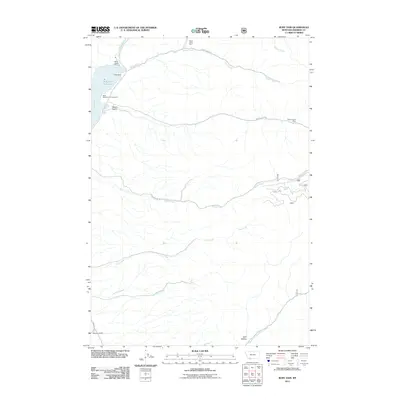
2011 Map of Ruby Dam
USGS Topo · Published 2011About this map
The Ruby Dam controls the flow of the Ruby River in this section of Madison County, creating the Ruby River Reservoir as a prominent central feature of the landscape. This 2011 survey captures the industrial and ranching footprint of the region, where the Barton Gulch Mine and Davey Creek Mine represent the area's mineral interests. The geography is defined by a series of drainages, including Barton Gulch, Idaho Creek, and Jack Creek, which cut through the terrain toward the river valley. Evidence of water management for agriculture is visible in features like the Calloway Ditch near the Wonderly Ranch. For recreationists and locals, the Ruby Reservoir Campground serves as a primary point of access to the water, while named landmarks such as Dark Hollow and Jasmine Creek provide specific points of reference for those navigating the backcountry roads like Davey Creek Rd.
Find a feature on this map
22 named features on this map. Tap any name to fly to it.
Don’t see what you’re looking for? This feature index may not catch every label — zoom into the map to look around manually.
Map Details
Editions of this 2011 Ruby Dam Map
This is the sole edition of this map. No revisions or reprints were ever made.
Other maps of this area

1888 · Three Forks
USGS Topo · 1:250,000

1893 · Dillon
USGS Topo · 1:250,000

1894 · Three Forks
USGS Topo · 1:250,000

1895 · Three Forks
USGS Topo · 1:250,000

1947 · Bozeman
USGS Topo · 1:250,000

1948 · Bozeman
USGS Topo · 1:250,000

1949 · Varney
USGS Topo · 1:62,500

1950 · Virginia City
USGS Topo · 1:62,500

1955 · Bozeman
USGS Topo · 1:250,000

1955 · Dillon
USGS Topo · 1:250,000