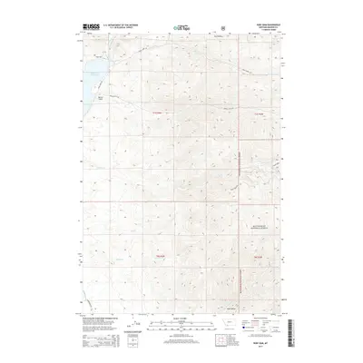
2014 Map of Ruby Dam
USGS Topo · Published 2014About this map
Ruby Dam stands as a primary focal point at the northern end of this Madison County landscape, regulating the Ruby River Reservoir where it feeds the Ruby River. The drainage patterns of the era are defined by numerous named creeks and hollows, including Davey Cr, Dry Hollow, and Idaho Cr, which flow from the higher elevations of the Beaverhead National Forest toward the central valley. The map documents a sparsely settled region characterized by ranching or resource-based infrastructure, with Calloway Ditch and Jasmine Cr marking the southern reaches.
Find a feature on this map
24 named features on this map. Tap any name to fly to it.
Don’t see what you’re looking for? This feature index may not catch every label — zoom into the map to look around manually.
Map Details
Editions of this 2014 Ruby Dam Map
This is the sole edition of this map. No revisions or reprints were ever made.
Other maps of this area

1888 · Three Forks
USGS Topo · 1:250,000

1893 · Dillon
USGS Topo · 1:250,000

1894 · Three Forks
USGS Topo · 1:250,000

1895 · Three Forks
USGS Topo · 1:250,000

1947 · Bozeman
USGS Topo · 1:250,000

1948 · Bozeman
USGS Topo · 1:250,000

1949 · Varney
USGS Topo · 1:62,500

1950 · Virginia City
USGS Topo · 1:62,500

1955 · Bozeman
USGS Topo · 1:250,000

1955 · Dillon
USGS Topo · 1:250,000