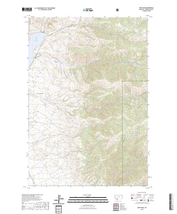
2024 Map of Ruby Dam
USGS Topo · Published 2024About this map
The Ruby River Reservoir serves as a central landmark for this Madison County landscape, where the Ruby River emerges from the high country of the Ruby Range. This modern survey details a complex network of drainage basins and gulches, including Barton Gulch and Galloway Gulch, that define the local topography. Much of the eastern and southern portions of the map fall within the Beaverhead National Forest, reflecting the region's managed wilderness character.
Find a feature on this map
22 named features on this map. Tap any name to fly to it.
Don’t see what you’re looking for? This feature index may not catch every label — zoom into the map to look around manually.
Map Details
Editions of this 2024 Ruby Dam Map
This is the sole edition of this map. No revisions or reprints were ever made.
Other maps of this area

1888 · Three Forks
USGS Topo · 1:250,000

1893 · Dillon
USGS Topo · 1:250,000

1894 · Three Forks
USGS Topo · 1:250,000

1895 · Three Forks
USGS Topo · 1:250,000

1947 · Bozeman
USGS Topo · 1:250,000

1948 · Bozeman
USGS Topo · 1:250,000

1949 · Varney
USGS Topo · 1:62,500

1950 · Virginia City
USGS Topo · 1:62,500

1955 · Bozeman
USGS Topo · 1:250,000

1955 · Dillon
USGS Topo · 1:250,000