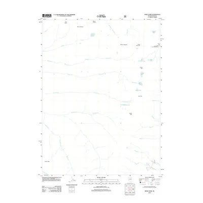
2012 Map of Ruby Dome
USGS Topo · Published 2012About this map
Ruby Dome stands as the prominent landmark of this high-altitude landscape in Elko County, defining a region where glacial activity has left a legacy of alpine basins and scattered water bodies. The terrain is a complex network of ridges and drainages, where peaks such as Mount Gilbert, Mount Silliman, and Mount Fitzgerald overlook deep-set basins. These depressions hold significant water features like Lamoille Lake, Island Lake, and the Dollar Lakes, which feed a series of descending creeks including the Right Fork Lamoille Cr and Thomas Cr.
Find a feature on this map
34 named features on this map. Tap any name to fly to it.
Don’t see what you’re looking for? This feature index may not catch every label — zoom into the map to look around manually.
Map Details
Editions of this 2012 Ruby Dome Map
This is the sole edition of this map. No revisions or reprints were ever made.
Other maps of this area

1934 · Jiggs
USGS Topo · 1:125,000

1935 · Halleck
USGS Topo · 1:125,000

1937 · Jiggs
USGS Topo · 1:125,000

1955 · Elko
USGS Topo · 1:250,000

1958 · Elko
USGS Topo · 1:250,000

1959 · Jiggs
USGS Topo · 1:62,500

1962 · Elko
USGS Topo · 1:250,000

1962 · Lee
USGS Topo · 1:62,500

1962 · Lamoille
USGS Topo · 1:62,500

1965 · Elko
USGS Topo · 1:250,000