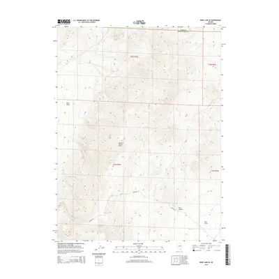
2014 Map of Ruby Lake SE
USGS Topo · Published 2014About this map
The Maverick Springs Range dominates this portion of the Great Basin, serving as the high-ground divide between Ruby Valley to the northwest and Long Valley to the southeast. This 2014 survey captures the remote character of the Elko and White Pine county border, where historical water sources like Mountain Spring, Willow Spring, and Salas Spring were essential for transit and livestock in an arid environment. The presence of Overland Rd winding through the foothills and into Murry Canyon follows a legacy of western passage, tracing a corridor through the basin-and-range topography. The map illustrates a landscape defined by sharp elevation changes and the sparse, vital placement of natural springs that have anchored activity in this high desert region for generations.
Find a feature on this map
13 named features on this map. Tap any name to fly to it.
Don’t see what you’re looking for? This feature index may not catch every label — zoom into the map to look around manually.
Map Details
Editions of this 2014 Ruby Lake SE Map
This is the sole edition of this map. No revisions or reprints were ever made.
Other maps of this area

1955 · Elko
USGS Topo · 1:250,000

1956 · Ely
USGS Topo · 1:250,000

1958 · Elko
USGS Topo · 1:250,000

1959 · Ely
USGS Topo · 1:250,000

1962 · Elko
USGS Topo · 1:250,000

1963 · Ely
USGS Topo · 1:250,000

1965 · Elko
USGS Topo · 1:250,000
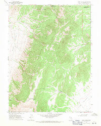
1968 · Ruby Lake SE
USGS Topo · 1:24,000
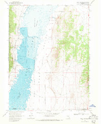
1968 · Ruby Lake NW
USGS Topo · 1:24,000

1968 · Ruby Lake NE
USGS Topo · 1:24,000