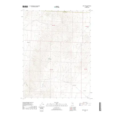
2018 Map of Ruby Lake SE
USGS Topo · Published 2018About this map
The Maverick Springs Range dominates this high-altitude landscape where Elko and White Pine counties meet. This arid Great Basin environment is defined by its verticality, rising steeply from the edges of Ruby Valley and Long Valley. Human movement through the basin is traced by the historic path of Overland Rd, which skirts the southern foothills of the range. Reliable water sources are rare and vital in this terrain, identified here by scattered points such as Willow Spring, Salas Spring, and Mountain Spring. The topographical detail reveals the complex drainage patterns of Murry Canyon, showing how the land slopes and funnels toward the surrounding basins. This survey captures a remote section of Nevada where the primary features are the geological formations themselves and the sparse tracks connecting them.
Find a feature on this map
13 named features on this map. Tap any name to fly to it.
Don’t see what you’re looking for? This feature index may not catch every label — zoom into the map to look around manually.
Map Details
Editions of this 2018 Ruby Lake SE Map
This is the sole edition of this map. No revisions or reprints were ever made.
Other maps of this area

1955 · Elko
USGS Topo · 1:250,000

1956 · Ely
USGS Topo · 1:250,000

1958 · Elko
USGS Topo · 1:250,000

1959 · Ely
USGS Topo · 1:250,000

1962 · Elko
USGS Topo · 1:250,000

1963 · Ely
USGS Topo · 1:250,000

1965 · Elko
USGS Topo · 1:250,000
1968 · Ruby Lake SE
USGS Topo · 1:24,000
1968 · Ruby Lake NW
USGS Topo · 1:24,000

1968 · Ruby Lake NE
USGS Topo · 1:24,000