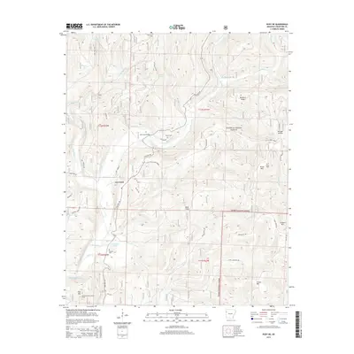
2014 Map of Rudy NE
USGS Topo · Published 2014About this map
Lee Creek flows south through this Crawford County landscape, carving a path through the Ozark National Forest and passing under the Lee Creek Bridge. The topography is defined by significant elevations like Bradford Knob, Kimes Mtn, and Pine Mtn, the latter of which features the Pine Mountain Lookout Tower for forest surveillance. The settlement pattern here is sparse, characterized by small family and community cemeteries such as Oak Grove Cem, Bryant Cem, and Kimbler Cem. The network of backroads includes descriptive names like Squeeze By Dr and Old 12 Cross Roads, while water features like Whiskey Spring and Switchback Lake highlight the drainage patterns into the many branches of the Lee Creek watershed.
Find a feature on this map
50 named features on this map. Tap any name to fly to it.
Don’t see what you’re looking for? This feature index may not catch every label — zoom into the map to look around manually.
Map Details
Editions of this 2014 Rudy NE Map
This is the sole edition of this map. No revisions or reprints were ever made.
Other maps of this area

1898 · Winslow #4
USGS Topo · 1:62,500

1898 · Winslow #3
USGS Topo · 1:62,500

1898 · Winslow
USGS Topo · 1:125,000

1901 · Winslow
USGS Topo · 1:125,000

1946 · Fort Smith
USGS Topo · 1:250,000

1965 · Fort Smith
USGS Topo · 1:250,000

1967 · Fort Smith
USGS Topo · 1:250,000
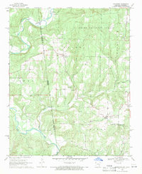
1969 · Uniontown
USGS Topo · 1:24,000

1969 · Natural Dam
USGS Topo · 1:24,000
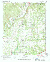
1969 · Mountainburg SW
USGS Topo · 1:24,000