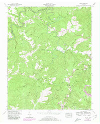
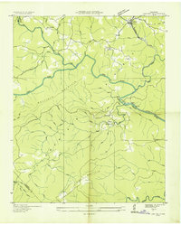
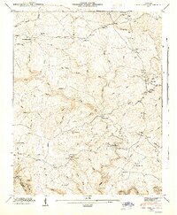
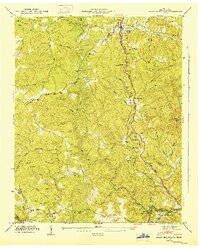
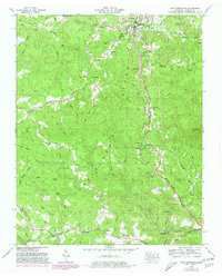
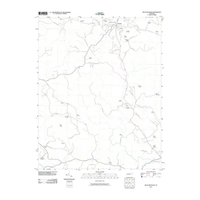
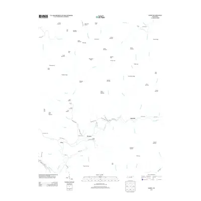
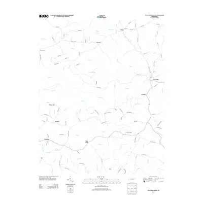
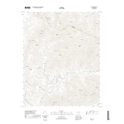
1952 Map of Rugby
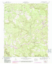
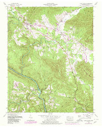
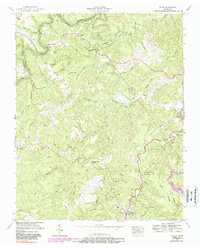
USGS Topo · Published 1980About this map
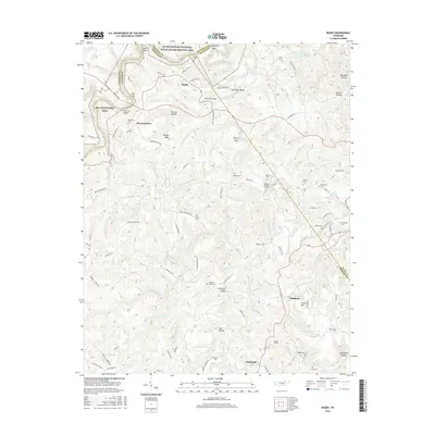
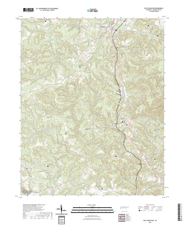
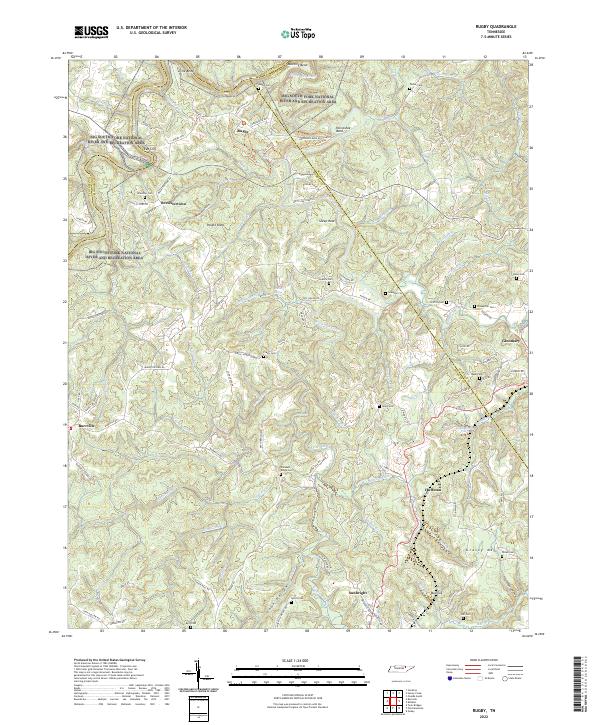
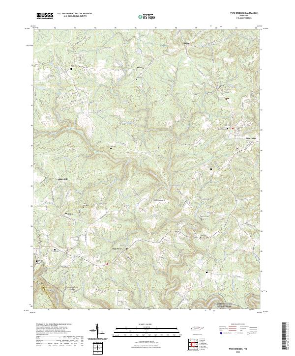
Rugby, the utopian Victorian village founded in the 1880s, sits at the northern edge of this terrain where Clear Fork and White Oak Creek carve deep bends through the Cumberland Plateau. The settlement pattern follows the high ridges and creek bottoms of Morgan and Scott Counties, connected by crossing points like Brewster Bridge and Mathews Bridge. The Southern railroad line anchors the eastern corridor, serving the communities of Glenmary and Sunbright, while providing vital transport for the region's extractive industries, evidenced by strip mines and scattered oil wells.
Find a feature on this map
79 named features on this map. Tap any name to fly to it.
Don’t see what you’re looking for? This feature index may not catch every label — zoom into the map to look around manually.
Map Details
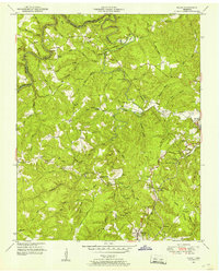
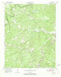
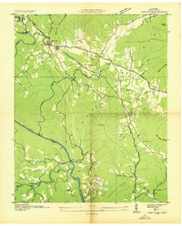
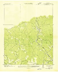
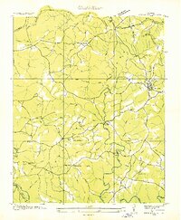
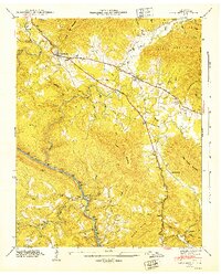
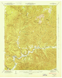
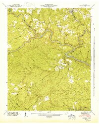
Editions of this 1952 Rugby Map
4 editions found
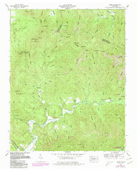
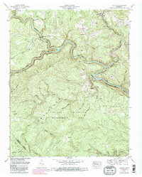
Historical Maps of Sunbright Through Time
47 maps found
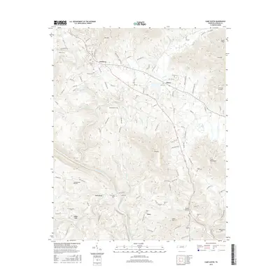
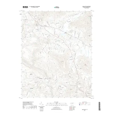
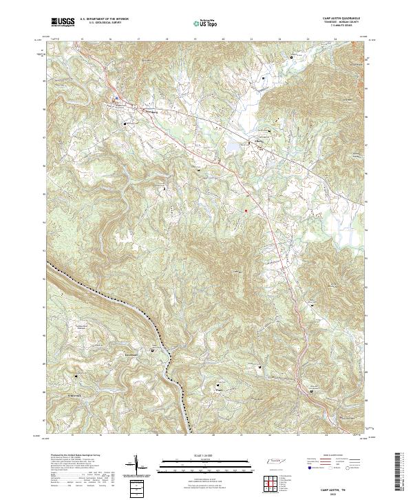
1935 Camp Austin
Morgan County, TN

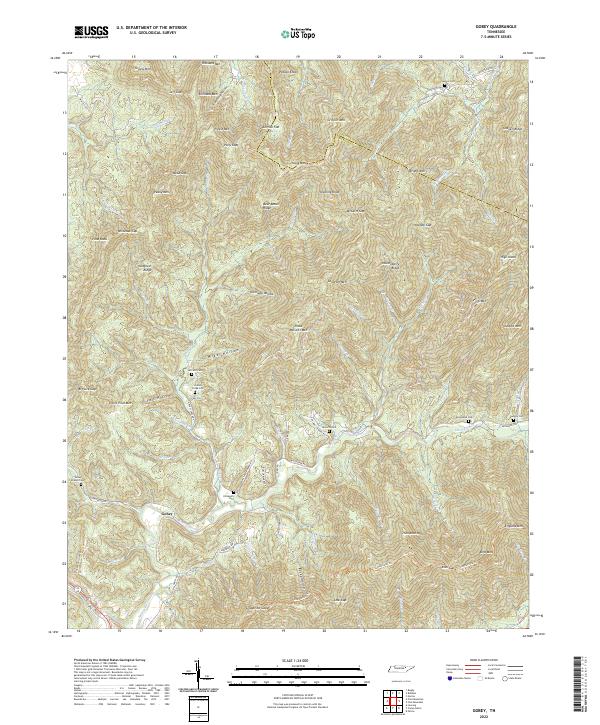
1935 Gobey
Morgan County, TN
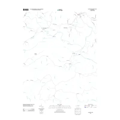
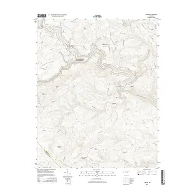
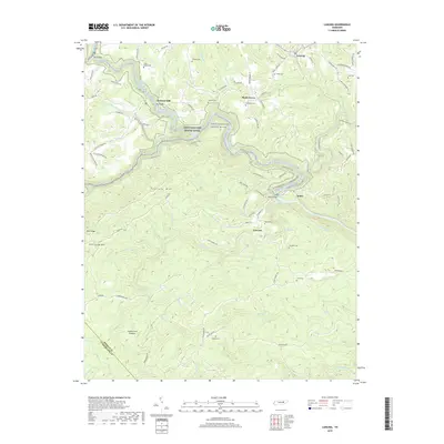
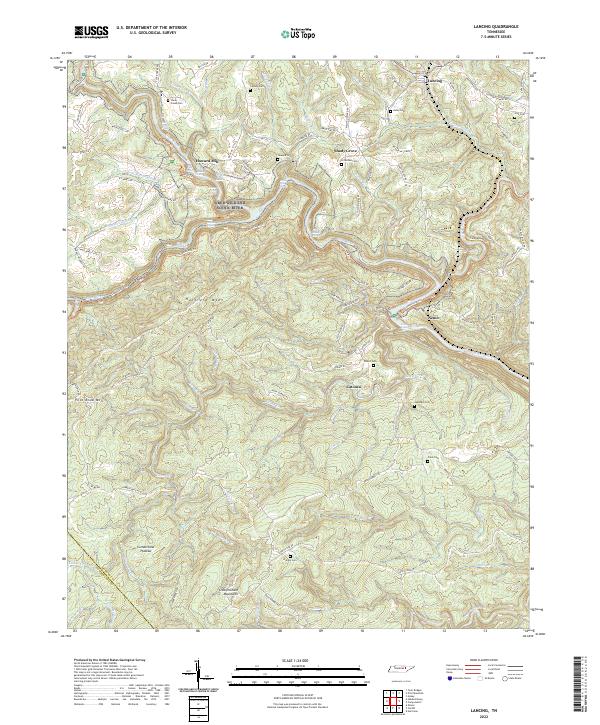
1935 Lancing
Morgan County, TN
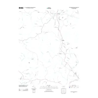
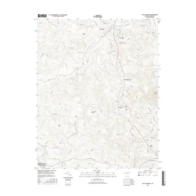
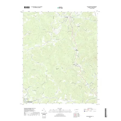
1935 Pilot Mountain
Morgan County, TN
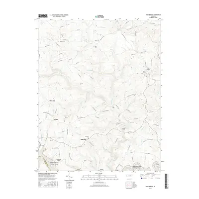
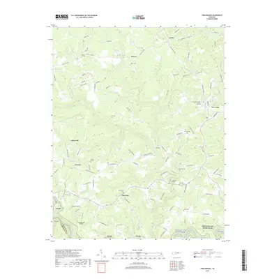
1936 Twin Bridges
Morgan County, TN
1943 Twin Bridges
Morgan County, TN
1945 Twin Bridges
Morgan County, TN
1946 Camp Austin
Morgan County, TN
1946 Gobey
Morgan County, TN
1946 Lancing
Morgan County, TN
1946 Pilot Mountain
Morgan County, TN
1952 Camp Austin
Morgan County, TN
1952 Gobey
Morgan County, TN
1952 Lancing
Morgan County, TN
1952 Pilot Mountain
Morgan County, TN
1952 Rugby
Morgan County, TN

1979 Oakridge
Morgan County, TN

2010 Camp Austin
Morgan County, TN
2010 Gobey
Morgan County, TN
2010 Lancing
Morgan County, TN
2010 Pilot Mountain
Morgan County, TN
2010 Rugby
Morgan County, TN
2010 Twin Bridges
Morgan County, TN
2013 Camp Austin
Morgan County, TN
2013 Gobey
Morgan County, TN
2013 Lancing
Morgan County, TN
2013 Pilot Mountain
Morgan County, TN
2013 Rugby
Morgan County, TN
2013 Twin Bridges
Morgan County, TN
2016 Camp Austin
Morgan County, TN
2016 Gobey
Morgan County, TN
2016 Lancing
Morgan County, TN
2016 Pilot Mountain
Morgan County, TN
2016 Rugby
Morgan County, TN
2016 Twin Bridges
Morgan County, TN
2019 Camp Austin
Morgan County, TN
2019 Gobey
Morgan County, TN
2019 Lancing
Morgan County, TN
2019 Pilot Mountain
Morgan County, TN
2019 Rugby
Morgan County, TN
2019 Twin Bridges
Morgan County, TN
2022 Camp Austin
Morgan County, TN
2022 Gobey
Morgan County, TN
2022 Lancing
Morgan County, TN
2022 Pilot Mountain
Morgan County, TN
2022 Rugby
Morgan County, TN
2022 Twin Bridges
Morgan County, TN