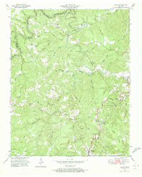
1952 Map of Rugby
USGS Topo · Published 1973About this map
The Victorian-era experimental village of Rugby sits at the northern edge of this Tennessee landscape, surrounded by the winding waters of White Oak Creek and Little Clear Fork. Established as a cooperative colony, the settlement is depicted here alongside its eponymous Rugby Cem and several landmarks such as Whiteoak Bridge and Brewster Bridge. The terrain is defined by deep river bends, notably the Horseshoe, and prominent landmarks like Red Cliff and Potato Knob.
Find a feature on this map
50 named features on this map. Tap any name to fly to it.
Don’t see what you’re looking for? This feature index may not catch every label — zoom into the map to look around manually.
Map Details
Editions of this 1952 Rugby Map
4 editions found

Other maps of this area

1895 · Wartburg
USGS Topo · 1:125,000

1896 · Wartburg
USGS Topo · 1:125,000

1935 · Gobey
USGS Topo · 1:24,000

1935 · Pilot Mountain
USGS Topo · 1:24,000

1936 · Twin Bridges
USGS Topo · 1:24,000

1943 · Twin Bridges
USGS Topo · 1:24,000
1945 · Twin Bridges
USGS Topo · 1:24,000
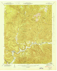
1946 · Gobey
USGS Topo · 1:24,000
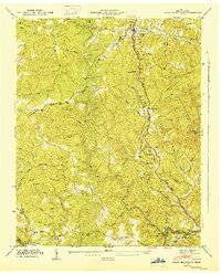
1946 · Pilot Mountain
USGS Topo · 1:24,000

1952 · Helenwood
USGS Topo · 1:24,000