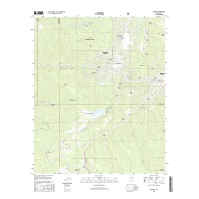
2017 Map of Ruidoso
USGS Topo · Published 2017About this map
Ruidoso and its surrounding mountain communities are captured here in the heart of the Lincoln National Forest. The map details a landscape defined by sharp elevation changes and deep drainages, with the Rio Ruidoso winding through the center of the valley near Ruidoso Downs and Hollywood. Significant local institutions are documented, including the Eastern New Mexico University-Ruidoso campus and the quiet grounds of Forest Lawn Cem.
Find a feature on this map
82 named features on this map. Tap any name to fly to it.
Don’t see what you’re looking for? This feature index may not catch every label — zoom into the map to look around manually.
Map Details
Editions of this 2017 Ruidoso Map
This is the sole edition of this map. No revisions or reprints were ever made.
Other maps of this area

1950 · Sierra Blanca Peak
USGS Topo · 1:62,500

1950 · Mescalero
USGS Topo · 1:62,500

1955 · Roswell
USGS Topo · 1:250,000

1958 · Roswell
USGS Topo · 1:250,000

1962 · Roswell
USGS Topo · 1:250,000

1963 · Fort Stanton
USGS Topo · 1:24,000

1963 · Ruidoso Downs
USGS Topo · 1:24,000

1963 · Ruidoso
USGS Topo · 1:24,000

1963 · Angus
USGS Topo · 1:24,000

1963 · Apache Summit
USGS Topo · 1:24,000