
1963 Map of Angus
USGS Topo · Published 1967About this map
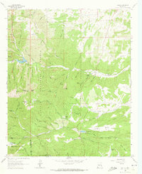
Lincoln National Forest dominates the rugged landscape of this 1963 survey, where high ridges like Gavilan Ridge and Monjeau Peak overlook a network of deep canyons and mountain settlements. The map highlights the critical role of water management in the arid climate, centered on the reservoir at Bonito Lake with its spillway and the winding course of the Rio Bonito. Small residential pockets and ranching operations are scattered throughout the terrain, including Loma Grande Ranch and Villa Madonna, alongside developing areas such as Sun Valley and Sierra Vista.
Find a feature on this map
75 named features on this map. Tap any name to fly to it.
Don’t see what you’re looking for? This feature index may not catch every label — zoom into the map to look around manually.
Map Details
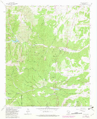
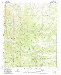
Editions of this 1963 Angus Map
4 editions found
Other maps of this area

1934 · Capitan
USGS Topo · 1:48,000

1937 · Capitan
USGS Topo · 1:62,500

1938 · Carrizozo
USGS Topo · 1:48,000

1943 · Carrizozo
USGS Topo · 1:62,500

1950 · Carrizozo
USGS Topo · 1:62,500

1950 · Sierra Blanca Peak
USGS Topo · 1:62,500

1955 · Roswell
USGS Topo · 1:250,000

1958 · Roswell
USGS Topo · 1:250,000

1962 · Roswell
USGS Topo · 1:250,000

1963 · Fort Stanton
USGS Topo · 1:24,000