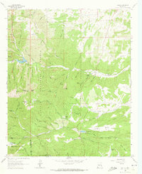
1963 Map of Angus
USGS Topo · Published 1973About this map
Lincoln National Forest surrounds a collection of mid-century mountain settlements and ranches tucked into the canyons of New Mexico. The Rio Bonito flows through the northern half of this landscape, feeding into Bonito Lake where the spillway elevation is precisely marked at 7,142 feet. Local industry and land use are evident in the scatter of features like the Coal Mine near Little Creek and several prospects and gravel pits that denote the extraction history of the area.
Find a feature on this map
80 named features on this map. Tap any name to fly to it.
Don’t see what you’re looking for? This feature index may not catch every label — zoom into the map to look around manually.
Map Details
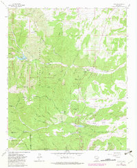
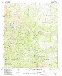
Editions of this 1963 Angus Map
4 editions found

Other maps of this area

1934 · Capitan
USGS Topo · 1:48,000

1937 · Capitan
USGS Topo · 1:62,500

1938 · Carrizozo
USGS Topo · 1:48,000

1943 · Carrizozo
USGS Topo · 1:62,500

1950 · Carrizozo
USGS Topo · 1:62,500

1950 · Sierra Blanca Peak
USGS Topo · 1:62,500

1955 · Roswell
USGS Topo · 1:250,000

1958 · Roswell
USGS Topo · 1:250,000

1962 · Roswell
USGS Topo · 1:250,000

1963 · Fort Stanton
USGS Topo · 1:24,000