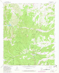
1963 Map of Angus
USGS Topo · Published 1982About this map
Loma Grande Ranch and the small settlements of Angus and Alto sit along the transition from the high peaks of the White Mountain Wilderness down toward the growing community of Ruidoso. This 1963 survey, updated in the early 1980s, reveals a landscape defined by its water resources and elevation, featuring Bonito Lake and the Alto Reservoir. The rugged terrain is carved by numerous canyons such as Kraut Canyon and Schoolhouse Canyon, while peaks like Monjeau Peak and Salt Peak anchor the western boundary. Human activity is visible in the network of pack trails, including the Crest Trail and Flume Trail, alongside industrial markers like a Coal Mine and scattered prospects. The southern portion of the map encompasses the northern reaches of the Mescalero Apache Indian Reservation, where the landscape moves into the North Fork Cedar Creek drainage.
Find a feature on this map
88 named features on this map. Tap any name to fly to it.
Don’t see what you’re looking for? This feature index may not catch every label — zoom into the map to look around manually.
Map Details
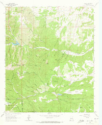
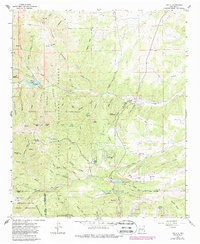
Editions of this 1963 Angus Map
4 editions found

Other maps of this area

1934 · Capitan
USGS Topo · 1:48,000

1937 · Capitan
USGS Topo · 1:62,500

1938 · Carrizozo
USGS Topo · 1:48,000

1943 · Carrizozo
USGS Topo · 1:62,500

1950 · Carrizozo
USGS Topo · 1:62,500

1950 · Sierra Blanca Peak
USGS Topo · 1:62,500

1955 · Roswell
USGS Topo · 1:250,000

1958 · Roswell
USGS Topo · 1:250,000

1962 · Roswell
USGS Topo · 1:250,000

1963 · Fort Stanton
USGS Topo · 1:24,000