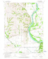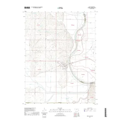
2021 Map of Rulo
USGS Topo · Published 2021About this map
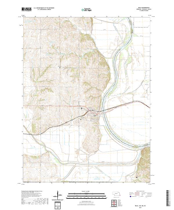
The Missouri River and Big Nemaha River converge in this riverine landscape, defining the corner where Nebraska, Missouri, and Kansas meet. The settlement of Rulo serves as the focal point, with a street grid including Main St and Commercial St situated just west of the riverbank. This area is significant for its complex water management and historic burial grounds, featuring the Immaculate Conception Cem and Rulo Cem near the town center, while Heater Cem and Franklin Cem are found in the surrounding uplands.
Find a feature on this map
55 named features on this map. Tap any name to fly to it.
Don’t see what you’re looking for? This feature index may not catch every label — zoom into the map to look around manually.
Map Details
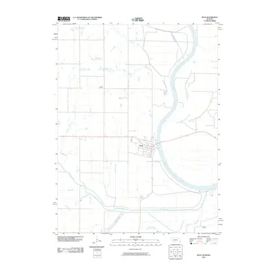
Editions of this 2021 Rulo Map
This is the sole edition of this map. No revisions or reprints were ever made.
Historical Maps of Rulo Through Time
6 maps found