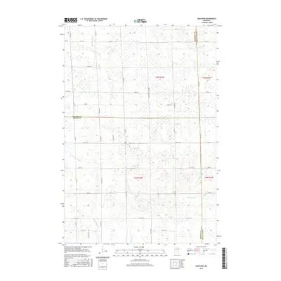
2016 Map of Rum River
USGS Topo · Published 2016About this map
The W Br Rum River and the Rum River anchor this rural landscape where three Minnesota counties — Morrison, Mille Lacs, and Benton — meet. The geography is defined by a dense network of slow-moving waterways, including Tibbetts Brook, Stony Brook, and Estes Brook, which thread through the low-lying terrain. The road network follows a rigid section-line grid, exemplified by routes like Nature Rd and Sage Rd, typical of the late 20th-century development in this region. This survey captures the area before significant modern expansion, highlighting the transitional zone where the Saint Francis River drainage system interacts with the primary Rum River basin, a landscape primarily dedicated to agriculture and natural resource conservation near the county borders.
Find a feature on this map
52 named features on this map. Tap any name to fly to it.
Don’t see what you’re looking for? This feature index may not catch every label — zoom into the map to look around manually.
Map Details
Editions of this 2016 Rum River Map
This is the sole edition of this map. No revisions or reprints were ever made.
Other maps of this area

1953 · Stillwater
USGS Topo · 1:250,000

1955 · Stillwater
USGS Topo · 1:250,000

1958 · Stillwater
USGS Topo · 1:250,000

1965 · Stillwater
USGS Topo · 1:250,000

1968 · Ramey NE
USGS Topo · 1:24,000
1968 · Foley
USGS Topo · 1:24,000
1968 · Ramey NW
USGS Topo · 1:24,000

1968 · Rum River
USGS Topo · 1:24,000
1968 · Ramey
USGS Topo · 1:24,000

1968 · Milaca
USGS Topo · 1:24,000