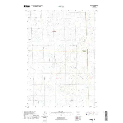
2019 Map of Rum River
USGS Topo · Published 2019About this map
The W Br Rum River and its various tributaries define this low-lying wetland landscape along the borders of Morrison, Benton, and Mille Lacs Counties. This 2019 survey captures the hydrological complexity of the region, where the Rum River and Saint Francis River systems nearly converge amidst a network of drainage brooks and marshy depressions. The section lines of the Public Land Survey System are clearly visible, with rural transit provided by a grid of named routes like Nature Rd, Sage Rd, and 165th St NE. The map illustrates a rural interior primarily used for agriculture and conservation, characterized by wide wetland pockets and slow-moving water bodies such as Tibbetts Brook and Stony Brook. While no major town centers appear on this sheet, the distribution of township roads like Twp Rd 310 and Twp Rd 480 reveals the persistent, low-density settlement patterns of Central Minnesota.
Find a feature on this map
53 named features on this map. Tap any name to fly to it.
Don’t see what you’re looking for? This feature index may not catch every label — zoom into the map to look around manually.
Map Details
Editions of this 2019 Rum River Map
This is the sole edition of this map. No revisions or reprints were ever made.
Other maps of this area

1953 · Stillwater
USGS Topo · 1:250,000

1955 · Stillwater
USGS Topo · 1:250,000

1958 · Stillwater
USGS Topo · 1:250,000

1965 · Stillwater
USGS Topo · 1:250,000

1968 · Ramey NE
USGS Topo · 1:24,000
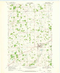
1968 · Foley
USGS Topo · 1:24,000
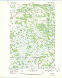
1968 · Ramey NW
USGS Topo · 1:24,000

1968 · Rum River
USGS Topo · 1:24,000
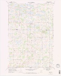
1968 · Ramey
USGS Topo · 1:24,000

1968 · Milaca
USGS Topo · 1:24,000