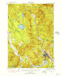
1927 Map of Rumford
USGS Topo · Published 1956About this map
The industrial and mountain landscapes of western Maine converge in this 1927 survey, centered on the intensive development at Rumford and Mexico. The Androscoggin River and Swift River dictated the settlement patterns here, with the Maine Central railroad following the riverbanks to serve the mills and communities. The map captures the significant drop at Rumford Falls, a critical power source that fueled the growth of Ridlonville and Virginia.
Find a feature on this map
97 named features on this map. Tap any name to fly to it.
Don’t see what you’re looking for? This feature index may not catch every label — zoom into the map to look around manually.
Map Details
Editions of this 1927 Rumford Map
3 editions found
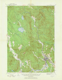
Other maps of this area

1911 · Bryant Pond
USGS Topo · 1:62,500

1911 · Buckfield
USGS Topo · 1:62,500

1913 · Buckfield
USGS Topo · 1:62,500

1914 · Bethel
USGS Topo · 1:62,500

1914 · Bryant Pond
USGS Topo · 1:62,500

1926 · Dixfield
USGS Topo · 1:62,500

1927 · Rumford
USGS Topo · 1:48,000

1929 · Phillips
USGS Topo · 1:48,000

1929 · Dixfield
USGS Topo · 1:62,500

1930 · Rumford
USGS Topo · 1:62,500