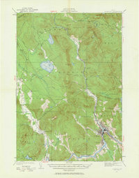
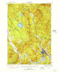
1927 Map of Rumford
USGS Topo · Published 1963About this map
Rumford and its neighboring mill towns dominate the valley along the Swift River and the Androscoggin River in this late 1920s survey. The industrial activity of the era is anchored by the Maine Central railroad line, which threads through the steep-sided valleys to serve settlements like Ridlonville and Virginia. While the riverfronts show concentrated development, the surrounding mountains hide specialized sites of local interest, including the Newry Mine and various rural educational landmarks such as the Red Hill Sch and Howe Sch.
Find a feature on this map
113 named features on this map. Tap any name to fly to it.
Don’t see what you’re looking for? This feature index may not catch every label — zoom into the map to look around manually.
Map Details
Editions of this 1927 Rumford Map
3 editions found
Other maps of this area

1911 · Bryant Pond
USGS Topo · 1:62,500

1911 · Buckfield
USGS Topo · 1:62,500

1913 · Buckfield
USGS Topo · 1:62,500

1914 · Bethel
USGS Topo · 1:62,500

1914 · Bryant Pond
USGS Topo · 1:62,500

1926 · Dixfield
USGS Topo · 1:62,500

1927 · Rumford
USGS Topo · 1:48,000

1929 · Phillips
USGS Topo · 1:48,000

1929 · Dixfield
USGS Topo · 1:62,500

1930 · Rumford
USGS Topo · 1:62,500