
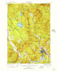
1927 Map of Rumford
USGS Topo · Published 1927About this map
The Swift River and Ellis River valley floors provided the primary corridors for settlement and transportation in this 1927 survey, while the surrounding peaks of Black Mtn and White Cap Mtn constrained development to the lowlands. The industrial and rail activity of the Maine Central River network is centered around Rumford, Mexico, and Ridlonville, contrasting with the more dispersed rural character of Byron and Garland.
Find a feature on this map
126 named features on this map. Tap any name to fly to it.
Don’t see what you’re looking for? This feature index may not catch every label — zoom into the map to look around manually.
Map Details
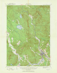
Editions of this 1927 Rumford Map
3 editions found
Other maps of this area

1911 · Bryant Pond
USGS Topo · 1:62,500

1911 · Buckfield
USGS Topo · 1:62,500

1913 · Buckfield
USGS Topo · 1:62,500

1914 · Bethel
USGS Topo · 1:62,500

1914 · Bryant Pond
USGS Topo · 1:62,500

1926 · Dixfield
USGS Topo · 1:62,500

1929 · Phillips
USGS Topo · 1:48,000

1929 · Dixfield
USGS Topo · 1:62,500

1930 · Rumford
USGS Topo · 1:62,500

1932 · Phillips
USGS Topo · 1:62,500