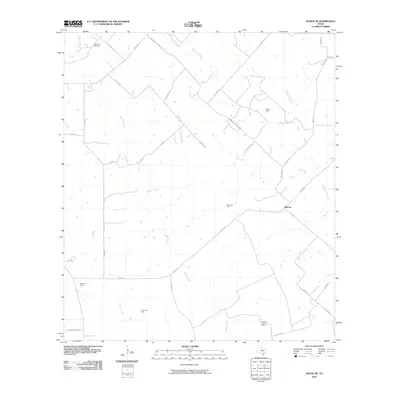
2010 Map of Runge SE
USGS Topo · Published 2010About this map
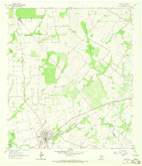
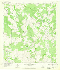
Melrose serves as the central point of reference in this South Texas landscape, where the rural economy is defined by a dense network of energy extraction. This 2010 survey illustrates the extensive development of the region's mineral resources, with large-scale operations like the Nordheim Gas Field and Slick Oil Field situated among family-named ranch roads and seasonal watercourses. The drainage patterns of Cabeza Creek and Manahuilla Creek weave through the terrain, while local thoroughfares such as Fuhrken Rd and Pokluda Rd provide access to the dispersed infrastructure. Further south, the Yanta Gas Field and Cabeza Creek Oil Field underscore the subsurface industry that dominates this portion of Goliad County, showing how access roads like Oil Field Rd have been integrated into the older agricultural grid.
Find a feature on this map
41 named features on this map. Tap any name to fly to it.
Don’t see what you’re looking for? This feature index may not catch every label — zoom into the map to look around manually.
Map Details
Editions of this 2010 Runge SE Map
This is the sole edition of this map. No revisions or reprints were ever made.
Other maps of this area

1953 · Beeville
USGS Topo · 1:250,000

1956 · Beeville
USGS Topo · 1:250,000

1960 · Beeville
USGS Topo · 1:250,000

1962 · Goliad
USGS Topo · 1:24,000
1963 · Choate
USGS Topo · 1:24,000

1963 · Weesatche
USGS Topo · 1:24,000
1963 · Berclair NW
USGS Topo · 1:24,000
1963 · Yorktown West
USGS Topo · 1:24,000
1963 · Runge
USGS Topo · 1:24,000
1963 · Runge SE
USGS Topo · 1:24,000