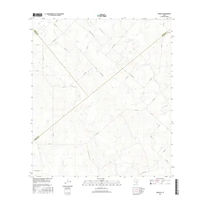
2016 Map of Runge SE
USGS Topo · Published 2016About this map
The triple junction of DeWitt, Karnes, and Goliad counties defines the rural character of this South Texas landscape. Waterways such as Manahuilla Cr and Cabeza Cr weave through the terrain, historically shaping property lines and transportation corridors. The road network reflects a long-standing ranching and energy extraction economy, with names like Oil Field Rd, Joe Pokluda Rd, and Nordheim Slickfield Rd hinting at the local families and industries that have influenced the region. While the map is dominated by open space, the crisscrossing of W Fm 884 and Fm 1726 connects scattered homesteads and provides a snapshot of the infrastructure supporting these isolated communities in the modern era.
Find a feature on this map
39 named features on this map. Tap any name to fly to it.
Don’t see what you’re looking for? This feature index may not catch every label — zoom into the map to look around manually.
Map Details
Editions of this 2016 Runge SE Map
This is the sole edition of this map. No revisions or reprints were ever made.
Other maps of this area

1953 · Beeville
USGS Topo · 1:250,000

1956 · Beeville
USGS Topo · 1:250,000

1960 · Beeville
USGS Topo · 1:250,000

1962 · Goliad
USGS Topo · 1:24,000
1963 · Choate
USGS Topo · 1:24,000

1963 · Weesatche
USGS Topo · 1:24,000
1963 · Berclair NW
USGS Topo · 1:24,000
1963 · Yorktown West
USGS Topo · 1:24,000
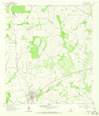
1963 · Runge
USGS Topo · 1:24,000
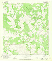
1963 · Runge SE
USGS Topo · 1:24,000