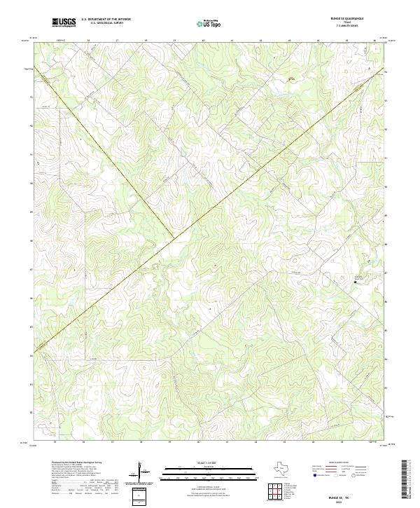
2022 Map of Runge SE
USGS Topo · Published 2022About this map
Cabeza Cr and Manahuilla Cr wind through this rural intersection of Goliad, Karnes, and DeWitt Counties, defining a landscape marked by ranching and resource extraction. The area is characterized by a dense network of family-named roads, such as Otto Fuhren and Gus Mueller, which reflect a deep history of local landownership and German-Texan heritage in this part of South Texas. A notable point of interest for genealogists is the Buzzards Roost Cem, situated near the eastern edge of the quadrangle. The presence of Oil Field Rd in the southeast corner indicates the ongoing industrial importance of the region, while the various forks of Goat Cr and Dry Cr illustrate the natural drainage patterns that have shaped movement through the territory for generations.
Find a feature on this map
39 named features on this map. Tap any name to fly to it.
Don’t see what you’re looking for? This feature index may not catch every label — zoom into the map to look around manually.
Map Details
Editions of this 2022 Runge SE Map
This is the sole edition of this map. No revisions or reprints were ever made.
Other maps of this area

1953 · Beeville
USGS Topo · 1:250,000

1956 · Beeville
USGS Topo · 1:250,000

1960 · Beeville
USGS Topo · 1:250,000

1962 · Goliad
USGS Topo · 1:24,000
1963 · Choate
USGS Topo · 1:24,000

1963 · Weesatche
USGS Topo · 1:24,000
1963 · Berclair NW
USGS Topo · 1:24,000
1963 · Yorktown West
USGS Topo · 1:24,000
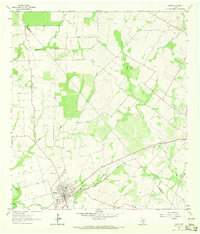
1963 · Runge
USGS Topo · 1:24,000
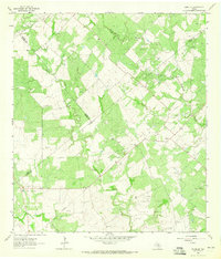
1963 · Runge SE
USGS Topo · 1:24,000