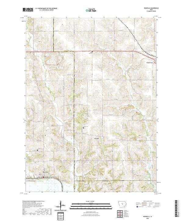
2022 Map of Runnells
USGS Topo · Published 2022About this map
Runnells anchors the southwestern corner of this Iowa landscape, where the borders of Polk, Marion, and Jasper counties converge. The terrain is defined by the winding paths of Camp Creek and Walnut Creek, which carve through the undulating topography of the Savanna region. This map captures the modern rural layout, showing a network of agricultural roads such as NE 12th Ave and County Road F70 connecting isolated farmsteads and small communities. To the northeast, the settlement of Prairie City marks the edge of the quadrangle near the Prairie Belle Cemetery. Local history is preserved in the placement of the Lowman Cemetery and Vandalia Cemetery, which serve as quiet landmarks near the unincorporated community of Vandalia. The inclusion of the Tallgrass Trail reflects a contemporary interest in land conservation and recreation amidst the traditional farming landscape.
Find a feature on this map
49 named features on this map. Tap any name to fly to it.
Don’t see what you’re looking for? This feature index may not catch every label — zoom into the map to look around manually.
Map Details
Editions of this 2022 Runnells Map
This is the sole edition of this map. No revisions or reprints were ever made.
Other maps of this area

1909 · Knoxville
USGS Topo · 1:62,500

1910 · Milo
USGS Topo · 1:62,500

1912 · Knoxville
USGS Topo · 1:62,500

1930 · Mitchellville
USGS Topo · 1:62,500

1954 · Des Moines
USGS Topo · 1:250,000

1956 · Des Moines
USGS Topo · 1:250,000

1957 · Des Moines
USGS Topo · 1:250,000

1965 · Pleasantville
USGS Topo · 1:24,000

1965 · Prairie City
USGS Topo · 1:24,000

1965 · Knoxville NW
USGS Topo · 1:24,000