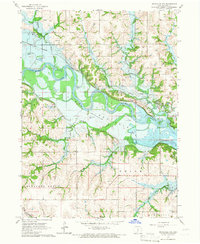
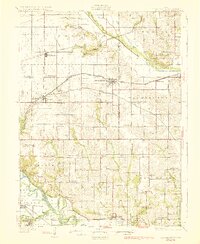
1965 Map of Knoxville NW
USGS Topo · Published 1966About this map
The Des Moines River valley dominates this mid-1960s landscape, illustrating a river system undergoing significant hydrological change. The presence of Lake Red Rock and the notation for a Normal Pool Elevation 725 reflect the area's transition into a major flood control and recreation reservoir. This engineering shift overlies an older rural infrastructure, evidenced by an Old Railroad Grade tracing the northern banks and numerous family-named burial grounds like Hughes Cem and Burch Cem.
Find a feature on this map
24 named features on this map. Tap any name to fly to it.
Don’t see what you’re looking for? This feature index may not catch every label — zoom into the map to look around manually.
Map Details
Editions of this 1965 Knoxville NW Map
This is the sole edition of this map. No revisions or reprints were ever made.
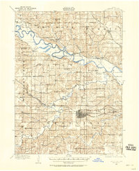
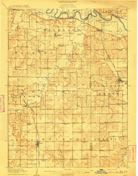
Other maps of this area
1909 · Knoxville
USGS Topo · 1:62,500
1910 · Milo
USGS Topo · 1:62,500
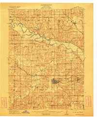
1912 · Knoxville
USGS Topo · 1:62,500
1930 · Mitchellville
USGS Topo · 1:62,500

1954 · Des Moines
USGS Topo · 1:250,000

1956 · Des Moines
USGS Topo · 1:250,000

1957 · Des Moines
USGS Topo · 1:250,000
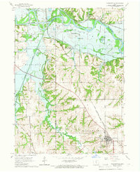
1965 · Pleasantville
USGS Topo · 1:24,000
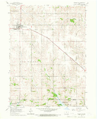
1965 · Prairie City
USGS Topo · 1:24,000
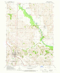
1965 · Monroe
USGS Topo · 1:24,000
Featured Places
- Union Township, IA
- Knoxville Township, IA
- Pleasant Grove Township, IA
- Red Rock Township, IA
- Marion County, IA