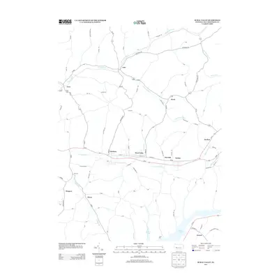
2013 Map of Rural Valley
USGS Topo · Published 2013About this map
Rural Valley and the neighboring community of Yatesboro sit at the heart of this Armstrong County landscape, positioned along the banks of Cowanshannock Cr. The area reflects a classic Pennsylvania pattern of small settlements clustered along creek valleys and primary transit corridors like Pa-85. To the east, the mining heritage of the region is evident at NuMine and Meredith, while the southern portion of the sheet is dominated by the extensive waters of Keystone Lake. This large reservoir, fed by Cessna Run, provides a stark contrast to the agricultural and residential grids found in northern locales like Echo and Bryan. The network of secondary roads, such as Kittanning Ave and Reeseman Rd, connects scattered rural points like North Star, Blanco, and Atwood, tracing a topography shaped by the drainage systems of the S Fork Pine Cr and its various branches.
Find a feature on this map
104 named features on this map. Tap any name to fly to it.
Don’t see what you’re looking for? This feature index may not catch every label — zoom into the map to look around manually.
Map Details
Editions of this 2013 Rural Valley Map
This is the sole edition of this map. No revisions or reprints were ever made.
Other maps of this area

1901 · Rural Valley
USGS Topo · 1:62,500

1902 · Indiana
USGS Topo · 1:62,500

1902 · Elders Ridge
USGS Topo · 1:62,500

1903 · Rural Valley
USGS Topo · 1:62,500

1904 · Elders Ridge
USGS Topo · 1:62,500

1909 · Smicksburg
USGS Topo · 1:62,500

1938 · Smicksburg
USGS Topo · 1:62,500

1939 · Smicksburg
USGS Topo · 1:62,500

1953 · Pittsburgh
USGS Topo · 1:250,000

1954 · Pittsburgh
USGS Topo · 1:250,000