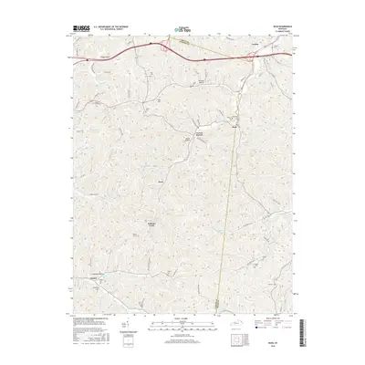
2016 Map of Rush
USGS Topo · Published 2016About this map
Williams Creek and its many tributaries, including Norton Br and Trout Lick, carve through this section of eastern Kentucky on the border of Boyd and Carter Counties. Small settlements and family hamlets such as Star Hill, Norton Branch, Music, and Denton are connected by a network of winding roads like Williams Creek-Music Rd and Shop Branch Rd. The map reveals a high density of family and community burial grounds, including the Wilson Creek Cem, Sally Cem, and Jones Cem, which provide critical reference points for genealogical research in the region.
Find a feature on this map
92 named features on this map. Tap any name to fly to it.
Don’t see what you’re looking for? This feature index may not catch every label — zoom into the map to look around manually.
Map Details
Editions of this 2016 Rush Map
This is the sole edition of this map. No revisions or reprints were ever made.
Other maps of this area

1901 · Ceredo
USGS Topo · 1:62,500

1903 · Kenova
USGS Topo · 1:125,000

1904 · Kenova
USGS Topo · 1:125,000

1911 · Louisa
USGS Topo · 1:48,000

1913 · Ceredo
USGS Topo · 1:62,500

1913 · Louisa
USGS Topo · 1:62,500

1939 · Louisa
USGS Topo · 1:62,500

1953 · Grayson
USGS Topo · 1:24,000

1953 · Oldtown
USGS Topo · 1:24,000

1953 · Rush
USGS Topo · 1:24,000