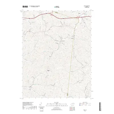
2019 Map of Rush
USGS Topo · Published 2019About this map
Norton Branch and Music anchor this corner of the Commonwealth where Boyd and Carter counties meet. The landscape is defined by a dense network of watercourses and hollows, including Gravel Lick, Foggy Hollow, and Glancy Fork. A legacy of early settlement is visible in the numerous family cemeteries dotting the hillsides, such as Sally Cem, O'Neal Cem, and Cooksey Cem. Of particular interest to industrial historians is the Means Tunnel located near Williams Creek, representing a significant modification of the terrain for transport or resource extraction. The map also traces the path of several named roads like Trace Rd and Norton Branch Rd, which follow the natural contours of the stream valleys through small communities like Star Hill and Denton.
Find a feature on this map
96 named features on this map. Tap any name to fly to it.
Don’t see what you’re looking for? This feature index may not catch every label — zoom into the map to look around manually.
Map Details
Editions of this 2019 Rush Map
This is the sole edition of this map. No revisions or reprints were ever made.
Other maps of this area

1901 · Ceredo
USGS Topo · 1:62,500

1903 · Kenova
USGS Topo · 1:125,000

1904 · Kenova
USGS Topo · 1:125,000

1911 · Louisa
USGS Topo · 1:48,000

1913 · Ceredo
USGS Topo · 1:62,500

1913 · Louisa
USGS Topo · 1:62,500

1939 · Louisa
USGS Topo · 1:62,500

1953 · Grayson
USGS Topo · 1:24,000

1953 · Oldtown
USGS Topo · 1:24,000

1953 · Rush
USGS Topo · 1:24,000