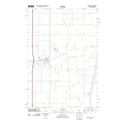
2010 Map of Rush City
USGS Topo · Published 2010About this map
Rush City serves as the focal point of this region, situated where the lowlands meet the winding Rush Creek and its associated Rush Creek Dam. The landscape is defined by the proximity to the Saint Croix River on its eastern edge, a major waterway that historically dictated the movement of people and goods. Genealogists will find a high density of burial grounds in this area, including the Heinrich Pioneer Cemetery, Gee Family Cemetery, and Taylor Cemetery, which together represent the early rural community structure of Chisago County.
Find a feature on this map
60 named features on this map. Tap any name to fly to it.
Don’t see what you’re looking for? This feature index may not catch every label — zoom into the map to look around manually.
Map Details
Editions of this 2010 Rush City Map
This is the sole edition of this map. No revisions or reprints were ever made.
Other maps of this area

1950 · Rush City
USGS Topo · 1:48,000

1953 · Stillwater
USGS Topo · 1:250,000

1955 · Rush City
USGS Topo · 1:62,500

1955 · Stillwater
USGS Topo · 1:250,000

1958 · Stillwater
USGS Topo · 1:250,000

1961 · Cambridge
USGS Topo · 1:62,500

1961 · Brook Park
USGS Topo · 1:62,500

1961 · Pine City
USGS Topo · 1:62,500

1965 · Stillwater
USGS Topo · 1:250,000

1975 · Stillwater
USGS Topo · 1:250,000