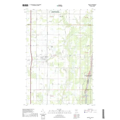
2019 Map of Rush City
USGS Topo · Published 2019About this map
Rush City serves as the central hub of this eastern Minnesota landscape, positioned where the agricultural plains meet the protected corridors of the Saint Croix National Scenic Riverway. The map captures a high level of detail for local history, including several small burial grounds such as Taylor Cem, Gee Family Cem, and the Heinrich Pioneer Cem, which reflect the early settlement patterns of Chisago County. The drainage of the land is meticulously documented through systems like County Ditch Number Six and County Ditch Number Nine, alongside the natural paths of Rush Cr and Rock Cr. To the south, the village of Harris sits along the major transit corridor, while the Rush City Regional Airport marks the modern utility of the area. The eastern edge is defined by the state boundary between Minnesota and Wisconsin, following the river's winding path.
Find a feature on this map
89 named features on this map. Tap any name to fly to it.
Don’t see what you’re looking for? This feature index may not catch every label — zoom into the map to look around manually.
Map Details
Editions of this 2019 Rush City Map
This is the sole edition of this map. No revisions or reprints were ever made.
Other maps of this area
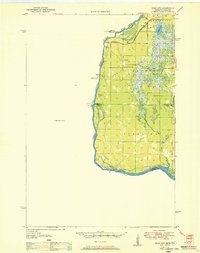
1950 · Rush City
USGS Topo · 1:48,000

1953 · Stillwater
USGS Topo · 1:250,000
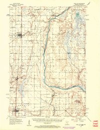
1955 · Rush City
USGS Topo · 1:62,500

1955 · Stillwater
USGS Topo · 1:250,000

1958 · Stillwater
USGS Topo · 1:250,000
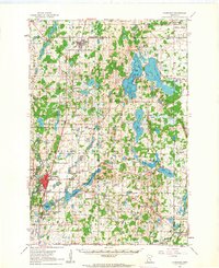
1961 · Cambridge
USGS Topo · 1:62,500
1961 · Brook Park
USGS Topo · 1:62,500
1961 · Pine City
USGS Topo · 1:62,500
1965 · Stillwater
USGS Topo · 1:250,000
1975 · Stillwater
USGS Topo · 1:250,000