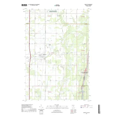
1983 Map of Rush City
USGS Topo · Published 1984About this map
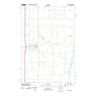
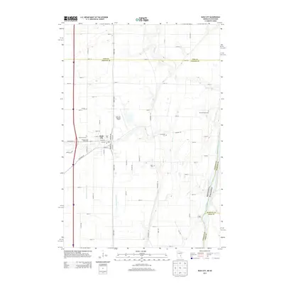
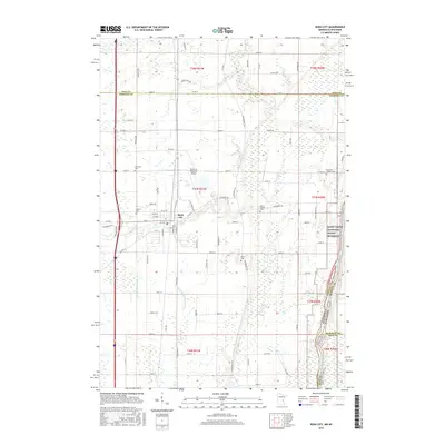
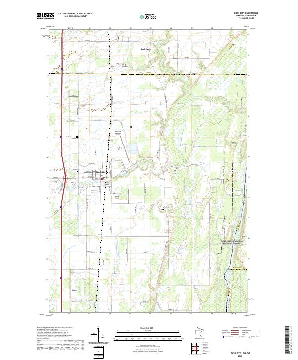
Rush City and Harris anchor this western bank of the St Croix River, where the landscape is defined by the legacy of early transit routes. The Burlington Northern railroad runs parallel to the historic Old Military Road, tracing a north-south corridor through Chisago County. This 1980s-era survey reveals a community deeply connected to its riverfront, documented by the St Croix National Scenic Riverway Boundary and landmarks such as Landers Landing. Local heritage is preserved in several rural burial grounds, including Covenant Cem, Sacred Heart Cem, and the secluded Taylor Cem. The map also details the transition from the developed Rush City Corporate Boundary with its Municipal Airport and Fairground to the dense woodlands of the Chengwatana State Forest and the recreational paths of the Knowles Bark Trail.
Find a feature on this map
39 named features on this map. Tap any name to fly to it.
Don’t see what you’re looking for? This feature index may not catch every label — zoom into the map to look around manually.
Map Details
Editions of this 1983 Rush City Map
This is the sole edition of this map. No revisions or reprints were ever made.
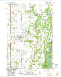
Historical Maps of Rush City Through Time
8 maps found