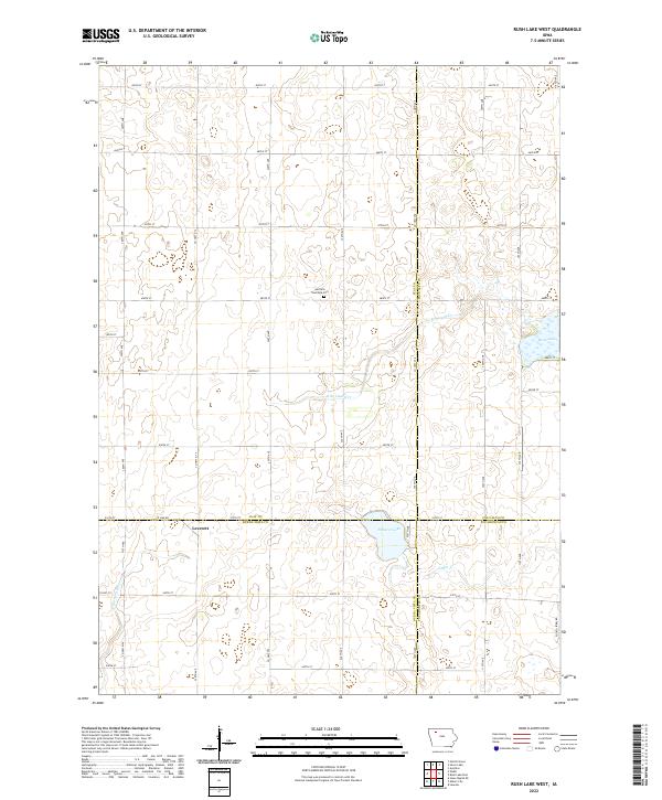
2022 Map of Rush Lake West
USGS Topo · Published 2022About this map
Garfield Township Cem serves as a quiet landmark near the center of this rural township grid where Clay, Palo Alto, Buena Vista, and Pocahontas counties converge. The landscape is defined by the headwaters and drainage patterns of the N Raccoon River and Cedar Cr, alongside prominent glacial basins including Rush Lake and Pickerel Lake. In the southwestern corner, the small settlement of Leverett sits along the roadway, providing a rare point of concentrated habitation in an area otherwise characterized by a precise system of section-line roads such as Potato Farm Rd and Co Hwy N 14. The map illustrates the persistent structure of Iowa's agricultural division, where the natural course of the N Br Lizard Cr winds through a strictly surveyed landscape of section corners and township lines.
Find a feature on this map
37 named features on this map. Tap any name to fly to it.
Don’t see what you’re looking for? This feature index may not catch every label — zoom into the map to look around manually.
Map Details
Editions of this 2022 Rush Lake West Map
This is the sole edition of this map. No revisions or reprints were ever made.
Other maps of this area

1954 · Fairmont
USGS Topo · 1:250,000

1954 · Fort Dodge
USGS Topo · 1:250,000

1957 · Fort Dodge
USGS Topo · 1:250,000

1958 · Fort Dodge
USGS Topo · 1:250,000

1958 · Fairmont
USGS Topo · 1:250,000

1966 · Gillett Grove
USGS Topo · 1:24,000

1971 · Sioux Rapids SE
USGS Topo · 1:24,000

1971 · Albert City
USGS Topo · 1:24,000

1971 · Rush Lake East
USGS Topo · 1:24,000

1971 · Rush Lake West
USGS Topo · 1:24,000