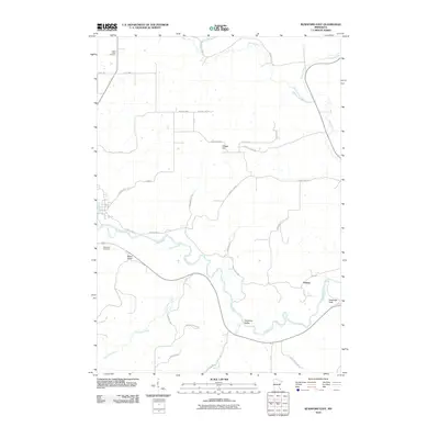
2010 Map of Rushford East
USGS Topo · Published 2010About this map
The Root River dominates this landscape, winding through a series of valleys that define the local geography just east of Rushford. The waterway is fed by several tributaries, including Daley Creek, Ferndale Creek, and Money Creek, which carve out distinct topographical features like Baker Valley and Chisholm Valley. This 2010 topographic representation shows the area's rural character, where small clusters like Perkins and elevated landmarks such as Vinegar Hill and Cushings Peak break the riverine terrain. Genealogists will find the locations of Saint Johns Cemetery and Sherwood Cemetery clearly marked, offering a precise view of these burial grounds in relation to the township boundaries of Hart Twp 2 and Wiscoy Twp 16. The network of local routes, including County Hwy-26 and Berland Rd, illustrates the modern road system following the natural contours of the river valleys.
Find a feature on this map
39 named features on this map. Tap any name to fly to it.
Don’t see what you’re looking for? This feature index may not catch every label — zoom into the map to look around manually.
Map Details
Editions of this 2010 Rushford East Map
This is the sole edition of this map. No revisions or reprints were ever made.
Other maps of this area

1954 · Lewiston
USGS Topo · 1:62,500

1958 · Houston
USGS Topo · 1:62,500

1958 · La Crosse
USGS Topo · 1:250,000

1961 · La Crosse
USGS Topo · 1:250,000

1965 · La Crosse
USGS Topo · 1:250,000

1965 · Sheldon
USGS Topo · 1:24,000

1965 · Yucatan
USGS Topo · 1:24,000

1965 · Bratsberg
USGS Topo · 1:24,000
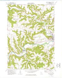
1974 · Rushford West
USGS Topo · 1:24,000
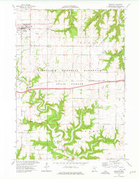
1974 · Lewiston
USGS Topo · 1:24,000