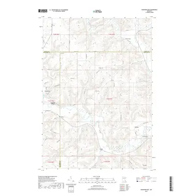
2019 Map of Rushford East
USGS Topo · Published 2019About this map
The Root River carves a deep path through the driftless landscape of southeastern Minnesota, where the borders of Fillmore, Winona, and Houston counties converge. This 2019 survey captures the intricate topography of the region, defined by high ridges like Vinegar Hill and prominent points such as Cushings Peak. The settlement pattern follows the fertile lowlands of Baker Valley and Wiscoy Valley, with small communities like Rushford Village and Perkins connected by a network of winding township roads.
Find a feature on this map
63 named features on this map. Tap any name to fly to it.
Don’t see what you’re looking for? This feature index may not catch every label — zoom into the map to look around manually.
Map Details
Editions of this 2019 Rushford East Map
This is the sole edition of this map. No revisions or reprints were ever made.
Other maps of this area

1954 · Lewiston
USGS Topo · 1:62,500

1958 · Houston
USGS Topo · 1:62,500

1958 · La Crosse
USGS Topo · 1:250,000

1961 · La Crosse
USGS Topo · 1:250,000

1965 · La Crosse
USGS Topo · 1:250,000

1965 · Sheldon
USGS Topo · 1:24,000

1965 · Yucatan
USGS Topo · 1:24,000

1965 · Bratsberg
USGS Topo · 1:24,000
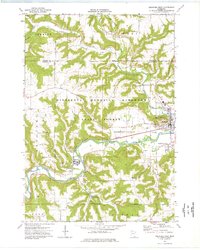
1974 · Rushford West
USGS Topo · 1:24,000
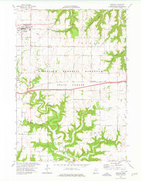
1974 · Lewiston
USGS Topo · 1:24,000