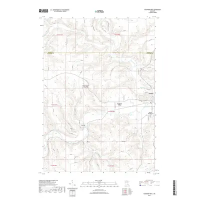
2019 Map of Rushford West
USGS Topo · Published 2019About this map
The Root River carves a deep valley through the driftless landscape of Fillmore County, anchoring a series of riverfront settlements including Peterson, Rushford Village, and Rushford. This 2019 survey illustrates how modern infrastructure, such as the Rushford Municipal Airport-Robert W Bunke Field, coexists with the area's deep-rooted agricultural and civic history. The terrain is defined by steep bluffs and ridges, notably Tower Ridge, which separate the river valley from the high farm plateaus of the surrounding townships.
Find a feature on this map
67 named features on this map. Tap any name to fly to it.
Don’t see what you’re looking for? This feature index may not catch every label — zoom into the map to look around manually.
Map Details
Editions of this 2019 Rushford West Map
This is the sole edition of this map. No revisions or reprints were ever made.
Other maps of this area

1954 · Lewiston
USGS Topo · 1:62,500

1958 · Houston
USGS Topo · 1:62,500

1958 · La Crosse
USGS Topo · 1:250,000

1961 · La Crosse
USGS Topo · 1:250,000

1965 · La Crosse
USGS Topo · 1:250,000

1965 · Yucatan
USGS Topo · 1:24,000

1965 · Bratsberg
USGS Topo · 1:24,000
1965 · Lanesboro
USGS Topo · 1:24,000
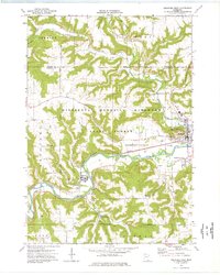
1974 · Rushford West
USGS Topo · 1:24,000
1974 · Utica
USGS Topo · 1:24,000
Featured Places
- Rushford, MN
- Rushford Village, MN
- Peterson, MN
- South Rushford, Rushford Village
- Bluffview Park Mobile Home Park, Rushford