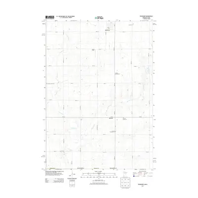
2013 Map of Rushmore
USGS Topo · Published 2013About this map
Rushmore serves as the primary population center on this Nobles County landscape, characterized by the undulating elevations of the Coteau des Prairies plateau. The region is defined by a dense grid of rural roads and the drainage patterns of the Little Rock River and Little Rock Cr, which wind southward toward the Iowa border. Outside of the main town, the smaller settlement of Ransom sits near the second of two sites labeled Norwegian Lutheran Cem, suggesting the area's ethnic heritage and early communal centers. Several other burial grounds, including Sunset Rest Cem, Emmanuel Presbyterian Cem, and Sunrise Cem, are scattered across the township, providing essential locations for genealogical research. The presence of the Rohwer Airport and a central Po in Rushmore reflect the modern infrastructure supporting this agricultural community in the early twenty-first century.
Find a feature on this map
33 named features on this map. Tap any name to fly to it.
Don’t see what you’re looking for? This feature index may not catch every label — zoom into the map to look around manually.
Map Details
Editions of this 2013 Rushmore Map
This is the sole edition of this map. No revisions or reprints were ever made.
Other maps of this area

1954 · Fairmont
USGS Topo · 1:250,000

1958 · Fairmont
USGS Topo · 1:250,000

1960 · Reading
USGS Topo · 1:24,000

1960 · Bigelow
USGS Topo · 1:24,000

1967 · Rushmore
USGS Topo · 1:24,000

1967 · Adrian SW
USGS Topo · 1:24,000

1967 · Adrian NE
USGS Topo · 1:24,000

1967 · Adrian
USGS Topo · 1:24,000
1972 · Little Rock
USGS Topo · 1:24,000

1972 · Sibley West
USGS Topo · 1:24,000