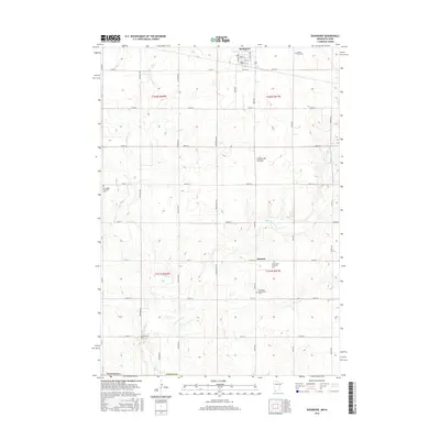
2016 Map of Rushmore
USGS Topo · Published 2016About this map
The Coteau des Prairies upland region forms the backbone of this Nobles County landscape, characterized by a persistent grid of section roads and small agricultural settlements. In the northern reaches, Rushmore serves as a primary hub, with its established street plan including N Seney Ave and South St. To the south, the smaller community of Ransom provides a focal point for the surrounding rural sections. The area's spiritual and family history is anchored by several burial grounds, including the Sunset Rest Cem near the northern border and the Norwegian Lutheran Cem located both west of Rushmore and south near Ransom. The drainage of the land is defined by the winding paths of the Little Rock River and its tributary, Little Rock Cr, which cut through the township lines of t102n r41w and t101n r42w.
Find a feature on this map
40 named features on this map. Tap any name to fly to it.
Don’t see what you’re looking for? This feature index may not catch every label — zoom into the map to look around manually.
Map Details
Editions of this 2016 Rushmore Map
This is the sole edition of this map. No revisions or reprints were ever made.
Other maps of this area

1954 · Fairmont
USGS Topo · 1:250,000

1958 · Fairmont
USGS Topo · 1:250,000

1960 · Reading
USGS Topo · 1:24,000

1960 · Bigelow
USGS Topo · 1:24,000

1967 · Rushmore
USGS Topo · 1:24,000

1967 · Adrian SW
USGS Topo · 1:24,000

1967 · Adrian NE
USGS Topo · 1:24,000

1967 · Adrian
USGS Topo · 1:24,000
1972 · Little Rock
USGS Topo · 1:24,000

1972 · Sibley West
USGS Topo · 1:24,000