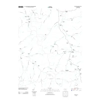
2013 Map of Ruskin
USGS Topo · Published 2013About this map
Marthas Chapel stands at the northern reaches of this rural Tennessee landscape, an area defined by its intricate network of hollows and ridges. The settlement pattern is characterized by small communities and crossroads such as Ruskin, Edgewood, and Adams Crossroads, which are linked by winding roads that often follow the natural drainage of the land. The topography is exceptionally detailed, naming dozens of family-associated landmarks like Buckeye Hollow, Randolph Hollow, and Mayhan Hollow.
Find a feature on this map
120 named features on this map. Tap any name to fly to it.
Don’t see what you’re looking for? This feature index may not catch every label — zoom into the map to look around manually.
Map Details
Editions of this 2013 Ruskin Map
This is the sole edition of this map. No revisions or reprints were ever made.
Other maps of this area

1931 · Erin
USGS Topo · 1:62,500

1936 · Gorman
USGS Topo · 1:24,000

1936 · Tantrough Hollow
USGS Topo · 1:24,000

1936 · Woolworth
USGS Topo · 1:24,000

1936 · Ruskin
USGS Topo · 1:24,000

1936 · Tennessee City
USGS Topo · 1:24,000

1936 · Dickson
USGS Topo · 1:24,000
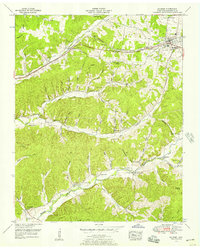
1952 · Mc Ewen
USGS Topo · 1:24,000
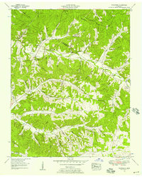
1952 · Woolworth
USGS Topo · 1:24,000

1953 · Dickson
USGS Topo · 1:24,000