
1936 Map of Ruskin
USGS Topo · Published 1936About this map
Yellow Creek winds through a landscape defined by deep hollows and high ridges where the boundaries of Dickson, Houston, and Humphreys counties converge. This 1936 field examination, produced by the Tennessee Valley Authority and the Geological Survey, reveals a rural network of small agricultural hubs and isolated homesteads. Landmarks like Cave Ruskin and Jewel Cave stand out as significant geological features in the Tennessee Basin, while the placement of community centers such as Adams Crossroads and Thompsons Crossroads suggests the focal points of local trade and travel before modern highway development fully transformed the region.
Find a feature on this map
90 named features on this map. Tap any name to fly to it.
Don’t see what you’re looking for? This feature index may not catch every label — zoom into the map to look around manually.
Map Details
Editions of this 1936 Ruskin Map
This is the sole edition of this map. No revisions or reprints were ever made.
Other maps of this area

1931 · Erin
USGS Topo · 1:62,500

1936 · Gorman
USGS Topo · 1:24,000

1936 · Tantrough Hollow
USGS Topo · 1:24,000

1936 · Woolworth
USGS Topo · 1:24,000

1936 · Tennessee City
USGS Topo · 1:24,000

1936 · Dickson
USGS Topo · 1:24,000
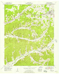
1952 · Mc Ewen
USGS Topo · 1:24,000
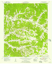
1952 · Woolworth
USGS Topo · 1:24,000

1953 · Dickson
USGS Topo · 1:24,000
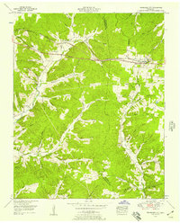
1953 · Tennessee City
USGS Topo · 1:24,000