2018 Map of Ruskin
USGS Topo · Published 2018About this map
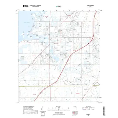
The Little Manatee River flows into Tampa Bay near the established community of Ruskin, forming a complex network of coastal wetlands and tidal inlets including Bolster Bayou and Mill Bayou. This 2018 survey illustrates the residential expansion around the historic core of Ruskin and the smaller settlement of Gulf City to the south. Along the shoreline, numerous named islands and keys such as Negro Island, Chicken Island, and Goat Island define the transition between the mainland and the Gulf of Mexico. Local history is anchored by the Ruskin Cem located near the riverbank, while the southern portion of the map details the boundary between Hillsborough Co and Manatee Co. The landscape is further shaped by the winding paths of Curiosity Creek and Wildcat Cr as they move through the coastal plain toward the bay.
Find a feature on this map
178 named features on this map. Tap any name to fly to it.
Don’t see what you’re looking for? This feature index may not catch every label — zoom into the map to look around manually.
Map Details
Editions of this 2018 Ruskin Map
This is the sole edition of this map. No revisions or reprints were ever made.
Other maps of this area

1921 · Tampa
USGS Topo · 1:62,500

1921 · Fort De Soto
USGS Topo · 1:62,500

1921 · St Petersburg
USGS Topo · 1:62,500

1942 · Cockroach Bay
USGS Topo · 1:31,680

1943 · Port Tampa
USGS Topo · 1:31,680

1944 · Ruskin
USGS Topo · 1:31,680

1944 · Rye
USGS Topo · 1:31,680

1944 · Wimauma
USGS Topo · 1:31,680

1944 · Ellenton
USGS Topo · 1:31,680

1944 · Parish
USGS Topo · 1:31,680